Distance to East Hampstead, New Hampshire

Calculating Your Route
Just a moment while we process your request...
Location Information
-
Full AddressEast Hampstead, Hampstead, NH
-
Coordinates42.8897662, -71.1454888
-
NeighborhoodEast Hampstead
-
LocationHampstead , New Hampshire , US
-
TimezoneAmerica/New_York
-
Current Local Time7:10:31 PM America/New_YorkWednesday, June 4, 2025
-
Page Views0
About East Hampstead
East Hampstead is an unincorporated community in the town of Hampstead in Rockingham County, New Hampshire, United States.
It is located near the northeast corner of the town of Hampstead, at the intersection of New Hampshire Route 111 and Route 121A.
Nearby Places
Found 10 places within 50 miles

Danville
1.9 mi
3.1 km
Danville, NH
Get directions

Hampstead
2.1 mi
3.4 km
Hampstead, NH
Get directions

Sandown
3.4 mi
5.5 km
Sandown, NH 03873
Get directions

Atkinson
3.5 mi
5.6 km
Atkinson, NH
Get directions

West Hampstead
3.7 mi
6.0 km
West Hampstead, Hampstead, NH 03841
Get directions
West Kingston
4.1 mi
6.6 km
West Kingston, Kingston, NH 03848
Get directions

Plaistow
4.5 mi
7.2 km
Plaistow, NH 03865
Get directions

Kingston
5.7 mi
9.2 km
Kingston, NH
Get directions

Newton
5.8 mi
9.3 km
Newton, NH 03858
Get directions
East Kingston
7.0 mi
11.3 km
East Kingston, NH
Get directions
Location Links
Local Weather
Weather Information
Coming soon!
Location Map
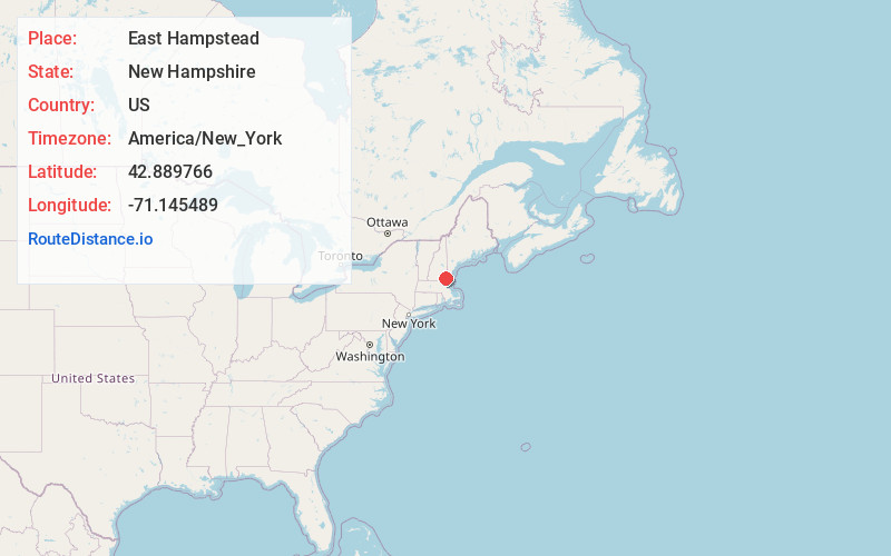
Static map view of East Hampstead, New Hampshire
Browse Places by Distance
Places within specific distances from East Hampstead
Short Distances
Long Distances
Click any distance to see all places within that range from East Hampstead. Distances shown in miles (1 mile ≈ 1.61 kilometers).