Distance to East Lansing, Michigan

Calculating Your Route
Just a moment while we process your request...
Location Information
-
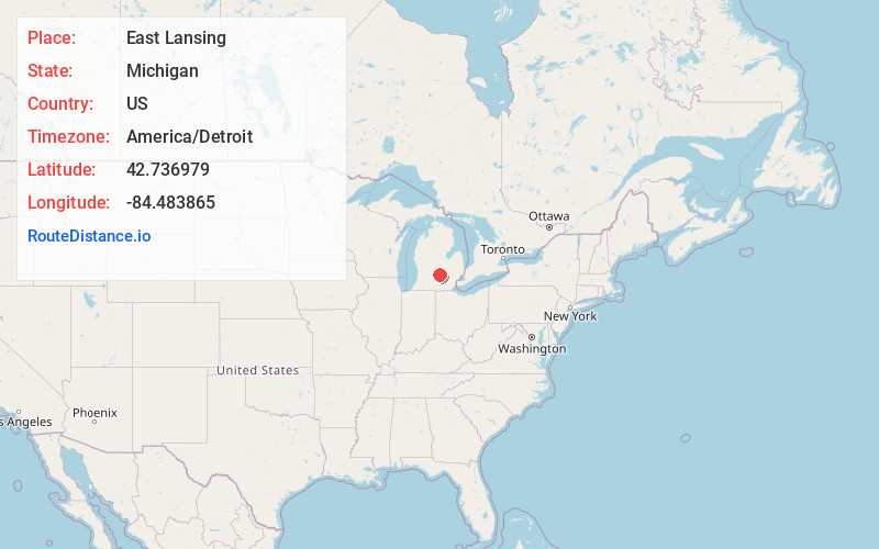
Full AddressEast Lansing, MI
-
Coordinates42.7369792, -84.4838654
-
LocationEast Lansing , Michigan , US
-
TimezoneAmerica/Detroit
-
Current Local Time5:50:28 PM America/DetroitMonday, June 16, 2025
-
Website
-
Page Views0
About East Lansing
East Lansing is a city in the U.S. state of Michigan. Most of the city lies within Ingham County, although a small portion extends north into Clinton County. At the 2020 census, the city had a population of 47,741. The city is located immediately east of Lansing, Michigan's capital and sixth most populous city.


Nearby Places
Found 6 places within 50 miles

Lansing
3.6 mi
5.8 km
Lansing, MI
Get directions

Jackson
34.2 mi
55.0 km
Jackson, MI
Get directions

Flint
44.6 mi
71.8 km
Flint, MI
Get directions

Battle Creek
45.6 mi
73.4 km
Battle Creek, MI
Get directions

South Lyon
46.4 mi
74.7 km
South Lyon, MI 48178
Get directions

Ann Arbor
49.2 mi
79.2 km
Ann Arbor, MI
Get directions
Location Links
Local Weather
Weather Information
Coming soon!
Location Map
Static map view of East Lansing, Michigan
Browse Places by Distance
Places within specific distances from East Lansing
Short Distances
Long Distances
Click any distance to see all places within that range from East Lansing. Distances shown in miles (1 mile ≈ 1.61 kilometers).