Distance to East Liverpool, Ohio

Calculating Your Route
Just a moment while we process your request...
Location Information
-
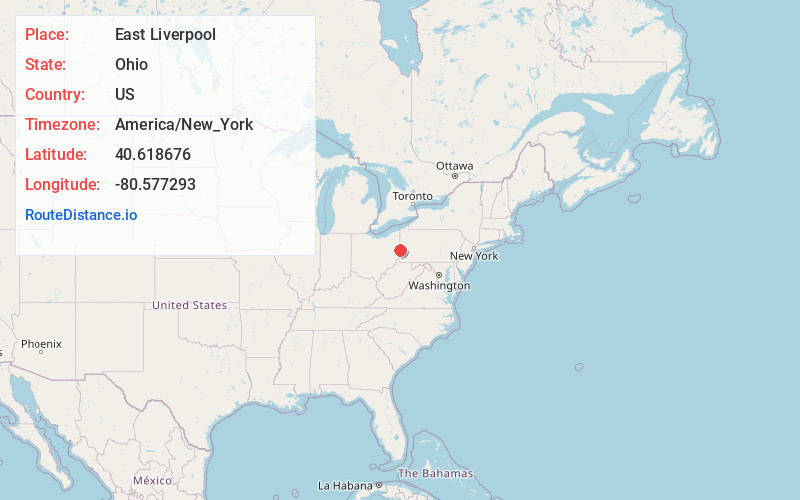
Full AddressEast Liverpool, OH 43920
-
Coordinates40.6186756, -80.5772928
-
LocationEast Liverpool , Ohio , US
-
TimezoneAmerica/New_York
-
Current Local Time4:12:46 AM America/New_YorkTuesday, June 3, 2025
-
Website
-
Page Views0
About East Liverpool
East Liverpool is a city in Columbiana County, Ohio, United States. The population was 9,958 at the 2020 census. It lies along the Ohio River at the intersection of Ohio, Pennsylvania and West Virginia about 30 miles from both Pittsburgh and Youngstown.


Nearby Places
Found 10 places within 50 miles

Weirton
13.8 mi
22.2 km
Weirton, WV 26062
Get directions

Center Township
15.4 mi
24.8 km
Center Township, PA
Get directions

Steubenville
17.5 mi
28.2 km
Steubenville, OH
Get directions

Moon Twp
20.0 mi
32.2 km
Moon Twp, PA 15108
Get directions

Carnot-Moon
20.0 mi
32.2 km
Carnot-Moon, PA 15108
Get directions

North Fayette Township
23.5 mi
37.8 km
North Fayette Township, PA
Get directions

Salem
24.4 mi
39.3 km
Salem, OH 44460
Get directions

Cranberry Twp
24.9 mi
40.1 km
Cranberry Twp, PA
Get directions

Franklin Park
25.8 mi
41.5 km
Franklin Park, PA
Get directions
Pine Township
28.1 mi
45.2 km
Pine Township, PA
Get directions
Location Links
Local Weather
Weather Information
Coming soon!
Location Map
Static map view of East Liverpool, Ohio
Browse Places by Distance
Places within specific distances from East Liverpool
Short Distances
Long Distances
Click any distance to see all places within that range from East Liverpool. Distances shown in miles (1 mile ≈ 1.61 kilometers).