Distance to and from East Palatka, Florida
East Palatka, FL
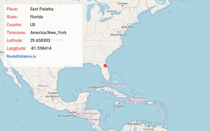
East Palatka
Florida
US
America/New_York
Location Information
-
Full AddressEast Palatka, FL
-
Coordinates29.6583026, -81.5984139
-
LocationEast Palatka , Florida , US
-
TimezoneAmerica/New_York
-
Current Local Time11:26:25 AM America/New_YorkSaturday, May 3, 2025
-
Page Views0
Directions to Nearest Cities
About East Palatka
East Palatka is a census-designated place in Putnam County, Florida, United States. It is located on the east side of the City of Palatka at the intersection of U.S. Route 17/State Road 20/State Road 100 and the southwestern terminus of State Road 207.


Nearby Places
Found 10 places within 50 miles

Palatka
2.0 mi
3.2 km
Palatka, FL 32177
Get directions

Flagler Estates
9.3 mi
15.0 km
Flagler Estates, FL 32145
Get directions

Crescent City
16.6 mi
26.7 km
Crescent City, FL 32112
Get directions

Interlachen
17.7 mi
28.5 km
Interlachen, FL 32148
Get directions

Butler Beach
22.1 mi
35.6 km
Butler Beach, FL 32080
Get directions

Lake Kerr
23.2 mi
37.3 km
Lake Kerr, FL 32134
Get directions

St. Augustine
23.5 mi
37.8 km
St. Augustine, FL
Get directions

Palm Coast
24.0 mi
38.6 km
Palm Coast, FL
Get directions

Bunnell
24.4 mi
39.3 km
Bunnell, FL
Get directions

Hawthorne
29.7 mi
47.8 km
Hawthorne, FL 32640
Get directions
Palatka
2.0 mi
3.2 km
Palatka, FL 32177
Flagler Estates
9.3 mi
15.0 km
Flagler Estates, FL 32145
Crescent City
16.6 mi
26.7 km
Crescent City, FL 32112
Interlachen
17.7 mi
28.5 km
Interlachen, FL 32148
Butler Beach
22.1 mi
35.6 km
Butler Beach, FL 32080
Lake Kerr
23.2 mi
37.3 km
Lake Kerr, FL 32134
St. Augustine
23.5 mi
37.8 km
St. Augustine, FL
Palm Coast
24.0 mi
38.6 km
Palm Coast, FL
Bunnell
24.4 mi
39.3 km
Bunnell, FL
Hawthorne
29.7 mi
47.8 km
Hawthorne, FL 32640
Location Links
Local Weather
Weather Information
Coming soon!
Location Map
Static map view of East Palatka, Florida
Browse Places by Distance
Places within specific distances from East Palatka
Short Distances
Long Distances
Click any distance to see all places within that range from East Palatka. Distances shown in miles (1 mile ≈ 1.61 kilometers).