Distance to East Patchogue, New York

Calculating Your Route
Just a moment while we process your request...
Location Information
-
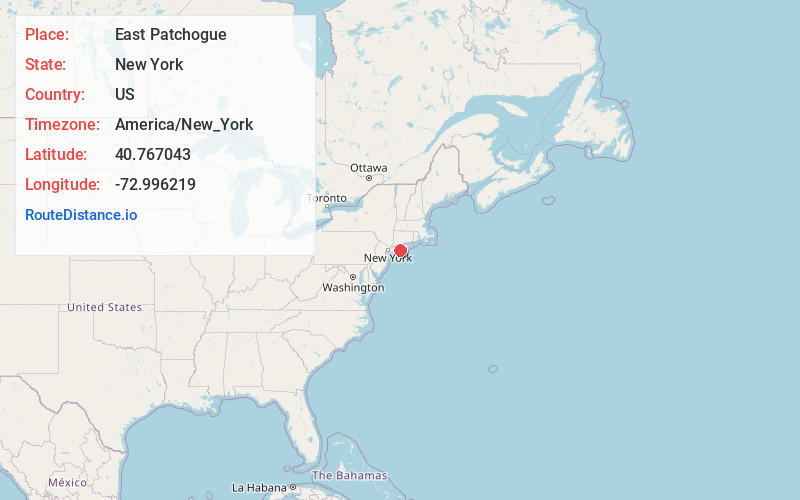
Full AddressEast Patchogue, NY
-
Coordinates40.7670427, -72.9962189
-
LocationEast Patchogue , New York , US
-
TimezoneAmerica/New_York
-
Current Local Time3:46:49 PM America/New_YorkSaturday, June 28, 2025
-
Page Views0
About East Patchogue
East Patchogue is a hamlet and census-designated place in the Town of Brookhaven in Suffolk County, on the South Shore of Long Island, in New York, United States. The population was 21,580 at the time of the 2020 census.


Nearby Places
Found 10 places within 50 miles

Medford
3.5 mi
5.6 km
Medford, NY
Get directions

Brookhaven
4.3 mi
6.9 km
Brookhaven, NY
Get directions

Holbrook
5.3 mi
8.5 km
Holbrook, NY
Get directions

Shirley
7.1 mi
11.4 km
Shirley, NY
Get directions

Centereach
8.3 mi
13.4 km
Centereach, NY
Get directions

Central Islip
10.9 mi
17.5 km
Central Islip, NY
Get directions

Smithtown
12.1 mi
19.5 km
Smithtown, NY
Get directions

Brentwood
13.1 mi
21.1 km
Brentwood, NY
Get directions

Bay Shore
13.4 mi
21.6 km
Bay Shore, NY
Get directions

Commack
16.4 mi
26.4 km
Commack, NY
Get directions
Location Links
Local Weather
Weather Information
Coming soon!
Location Map
Static map view of East Patchogue, New York
Browse Places by Distance
Places within specific distances from East Patchogue
Short Distances
Long Distances
Click any distance to see all places within that range from East Patchogue. Distances shown in miles (1 mile ≈ 1.61 kilometers).