Distance to Eastland, Utah

Calculating Your Route
Just a moment while we process your request...
Location Information
-
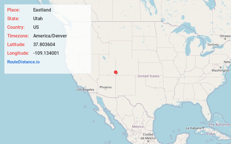
Full AddressEastland, UT 84535
-
Coordinates37.803604, -109.1340005
-
LocationUtah , US
-
TimezoneAmerica/Denver
-
Current Local Time10:42:11 PM America/DenverFriday, June 6, 2025
-
Page Views0
Nearby Places
Found 10 places within 50 miles

Northdale
6.4 mi
10.3 km
Northdale, CO 81324
Get directions
Verdure
11.8 mi
19.0 km
Verdure, UT 84535
Get directions

Monticello
12.3 mi
19.8 km
Monticello, UT 84535
Get directions

Dove Creek
12.7 mi
20.4 km
Dove Creek, CO 81324
Get directions
Slick Rock
20.8 mi
33.5 km
Slick Rock, CO 81325
Get directions

Blanding
22.5 mi
36.2 km
Blanding, UT 84511
Get directions

Casa Colorado Rock
27.7 mi
44.6 km
Casa Colorado Rock, Utah 84535
Get directions
Indian Village
29.1 mi
46.8 km
Indian Village, UT
Get directions

Yellow Jacket
29.4 mi
47.3 km
Yellow Jacket, CO 81335
Get directions
White Mesa
29.6 mi
47.6 km
White Mesa, UT 84511
Get directions
Location Links
Local Weather
Weather Information
Coming soon!
Location Map
Static map view of Eastland, Utah
Browse Places by Distance
Places within specific distances from Eastland
Short Distances
Long Distances
Click any distance to see all places within that range from Eastland. Distances shown in miles (1 mile ≈ 1.61 kilometers).