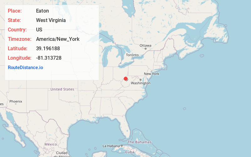
Distance to Eaton, West Virginia

Calculating Your Route
Just a moment while we process your request...
Location Information
-
Full AddressEaton, WV 26180
-
Coordinates39.196188, -81.3137276
-
LocationWest Virginia , US
-
TimezoneAmerica/New_York
-
Current Local Time5:58:40 AM America/New_YorkThursday, June 19, 2025
-
Page Views0
About Eaton
Eaton is a ghost town in Wood County, West Virginia, United States. It sat along the path of the Baltimore and Ohio Railroad. Passenger service along the line stopped completely in the fall of 1981. Eaton's long abandoned train station burned in the mid 1980s. All rail service on the line was discontinued in 1988.
Nearby Places
Found 10 places within 50 miles

Freeport
3.9 mi
6.3 km
Freeport, WV 26180
Get directions
Walker
3.9 mi
6.3 km
Walker, WV 26180
Get directions
Deerwalk
4.1 mi
6.6 km
Deerwalk, WV 26184
Get directions
Rusk
4.3 mi
6.9 km
Rusk, WV 26161
Get directions
Cisco
4.9 mi
7.9 km
Cisco, WV 26161
Get directions
Dallison
5.3 mi
8.5 km
Dallison, WV 26180
Get directions
Greencastle
5.7 mi
9.2 km
Greencastle, WV 26143
Get directions
Newlandsville
6.6 mi
10.6 km
Newlandsville, WV 26170
Get directions
Newark
7.0 mi
11.3 km
Newark, WV 26143
Get directions
Riverside
7.5 mi
12.1 km
Riverside, WV 26337
Get directions
Location Links
Local Weather
Weather Information
Coming soon!
Location Map
Static map view of Eaton, West Virginia
Browse Places by Distance
Places within specific distances from Eaton
Short Distances
Long Distances
Click any distance to see all places within that range from Eaton. Distances shown in miles (1 mile ≈ 1.61 kilometers).