Distance to Eatons Neck, New York

Calculating Your Route
Just a moment while we process your request...
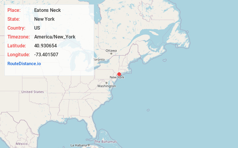
Location Information
-
Full AddressEatons Neck, NY 11768
-
Coordinates40.9306535, -73.4015074
-
LocationEatons Neck , New York , US
-
TimezoneAmerica/New_York
-
Current Local Time1:10:47 PM America/New_YorkTuesday, June 10, 2025
-
Page Views0
About Eatons Neck
Eatons Neck is a hamlet and census-designated place in the Town of Huntington in Suffolk County, on the North Shore of Long Island, in New York, United States. The population was 1,406 at the 2010 census.
There is a United States Coast Guard station at the northern tip of the hamlet.


Nearby Places
Found 10 places within 50 miles

Huntington Bay
2.2 mi
3.5 km
Huntington Bay, NY 11743
Get directions

Centerport
2.8 mi
4.5 km
Centerport, NY
Get directions

Halesite
3.0 mi
4.8 km
Halesite, NY 11743
Get directions

Lloyd Harbor
3.6 mi
5.8 km
Lloyd Harbor, NY
Get directions

Northport
3.7 mi
6.0 km
Northport, NY 11768
Get directions

Huntington
4.5 mi
7.2 km
Huntington, NY
Get directions

Greenlawn
4.7 mi
7.6 km
Greenlawn, NY
Get directions

Huntington Station
5.4 mi
8.7 km
Huntington Station, NY
Get directions

Fort Salonga
5.4 mi
8.7 km
Fort Salonga, NY
Get directions

East Northport
5.5 mi
8.9 km
East Northport, NY
Get directions
Location Links
Local Weather
Weather Information
Coming soon!
Location Map
Static map view of Eatons Neck, New York
Browse Places by Distance
Places within specific distances from Eatons Neck
Short Distances
Long Distances
Click any distance to see all places within that range from Eatons Neck. Distances shown in miles (1 mile ≈ 1.61 kilometers).