Distance to and from Eatonville, Florida
Eatonville, FL
Eatonville
Florida
US
America/New_York
Location Information
-
Full AddressEatonville, FL
-
Coordinates28.6183364, -81.3858914
-
LocationEatonville , Florida , US
-
TimezoneAmerica/New_York
-
Current Local Time8:36:44 PM America/New_YorkSaturday, May 3, 2025
-
Page Views0
Directions to Nearest Cities
About Eatonville
Eatonville is a town in Orange County, Florida, United States, six miles north of Orlando. It is part of Greater Orlando. Incorporated on August 15, 1887, it was one of the first self-governing all-black municipalities in the United States. The Eatonville Historic District and Moseley House Museum are in Eatonville.


Nearby Places
Found 10 places within 50 miles

Maitland
1.5 mi
2.4 km
Maitland, FL
Get directions

Fairview Shores
1.9 mi
3.1 km
Fairview Shores, FL
Get directions

Winter Park
2.7 mi
4.3 km
Winter Park, FL
Get directions

Fern Park
3.0 mi
4.8 km
Fern Park, FL
Get directions

Lockhart
3.4 mi
5.5 km
Lockhart, FL
Get directions

Forest City
4.8 mi
7.7 km
Forest City, FL
Get directions

Casselberry
5.4 mi
8.7 km
Casselberry, FL
Get directions

Orlando
5.5 mi
8.9 km
Orlando, FL
Get directions

Pine Hills
5.9 mi
9.5 km
Pine Hills, FL
Get directions

Goldenrod
5.9 mi
9.5 km
Goldenrod, FL
Get directions
Maitland
1.5 mi
2.4 km
Maitland, FL
Fairview Shores
1.9 mi
3.1 km
Fairview Shores, FL
Winter Park
2.7 mi
4.3 km
Winter Park, FL
Fern Park
3.0 mi
4.8 km
Fern Park, FL
Lockhart
3.4 mi
5.5 km
Lockhart, FL
Forest City
4.8 mi
7.7 km
Forest City, FL
Casselberry
5.4 mi
8.7 km
Casselberry, FL
Orlando
5.5 mi
8.9 km
Orlando, FL
Pine Hills
5.9 mi
9.5 km
Pine Hills, FL
Goldenrod
5.9 mi
9.5 km
Goldenrod, FL
Location Links
Local Weather
Weather Information
Coming soon!
Location Map
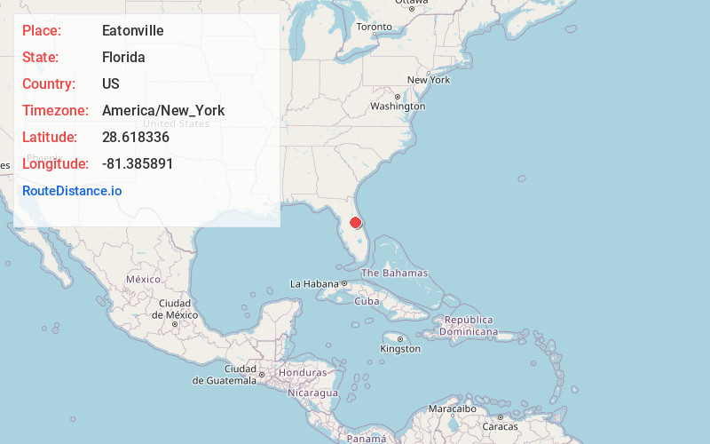
Static map view of Eatonville, Florida
Browse Places by Distance
Places within specific distances from Eatonville
Short Distances
Long Distances
Click any distance to see all places within that range from Eatonville. Distances shown in miles (1 mile ≈ 1.61 kilometers).