Distance to Eberhardt, Nevada

Calculating Your Route
Just a moment while we process your request...
Location Information
-
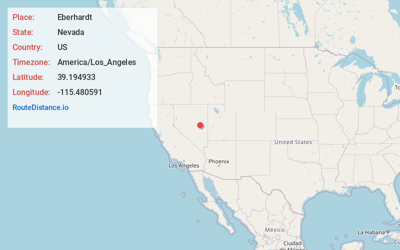
Full AddressEberhardt, NV
-
Coordinates39.1949331, -115.4805905
-
LocationNevada , US
-
TimezoneAmerica/Los_Angeles
-
Current Local Time3:43:48 PM America/Los_AngelesWednesday, June 18, 2025
-
Page Views0
Nearby Places
Found 10 places within 50 miles

Shermantown
1.4 mi
2.3 km
Shermantown, NV
Get directions

Hamilton
4.0 mi
6.4 km
Hamilton, NV
Get directions
Bull Fork
17.5 mi
28.2 km
Bull Fork, NV
Get directions
Kimberly
25.0 mi
40.2 km
Kimberly, NV 89319
Get directions
Riepetown
25.6 mi
41.2 km
Riepetown, NV 89319
Get directions
Copper Flat
26.8 mi
43.1 km
Copper Flat, NV 89319
Get directions

Ruth
26.9 mi
43.3 km
Ruth, NV 89319
Get directions
Keystone
28.1 mi
45.2 km
Keystone, NV 89319
Get directions

Lane City
29.7 mi
47.8 km
Lane City, NV 89301
Get directions

Preston
29.8 mi
48.0 km
Preston, NV
Get directions
Location Links
Local Weather
Weather Information
Coming soon!
Location Map
Static map view of Eberhardt, Nevada
Browse Places by Distance
Places within specific distances from Eberhardt
Short Distances
Long Distances
Click any distance to see all places within that range from Eberhardt. Distances shown in miles (1 mile ≈ 1.61 kilometers).