Distance to Echols, Kentucky

Calculating Your Route
Just a moment while we process your request...
Location Information
-
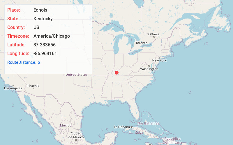
Full AddressEchols, KY 42320
-
Coordinates37.3336557, -86.9641611
-
LocationEchols , Kentucky , US
-
TimezoneAmerica/Chicago
-
Current Local Time7:46:03 PM America/ChicagoThursday, July 3, 2025
-
Page Views0
About Echols
Echols is an unincorporated community and coal town located in Ohio County, Kentucky, United States. It was also known as Pink Hall.
The town extends north from Paradise, and also north from the Peabody Wildlife Management which used to be coal mines.
Nearby Places
Found 10 places within 50 miles

Nineteen
1.1 mi
1.8 km
Nineteen, KY 42320
Get directions

Rockport
1.8 mi
2.9 km
Rockport, KY
Get directions
McHenry
4.0 mi
6.4 km
McHenry, KY
Get directions
Ceralvo
4.3 mi
6.9 km
Ceralvo, KY 42369
Get directions
Wysox
5.2 mi
8.4 km
Wysox, KY 42320
Get directions

Cool Springs
5.3 mi
8.5 km
Cool Springs, KY 42320
Get directions

Centertown
6.0 mi
9.7 km
Centertown, KY 42328
Get directions

Beaver Dam
6.8 mi
10.9 km
Beaver Dam, KY 42320
Get directions
Nonnell
8.5 mi
13.7 km
Nonnell, KY 42337
Get directions

Hartford
8.7 mi
14.0 km
Hartford, KY
Get directions
Location Links
Local Weather
Weather Information
Coming soon!
Location Map
Static map view of Echols, Kentucky
Browse Places by Distance
Places within specific distances from Echols
Short Distances
Long Distances
Click any distance to see all places within that range from Echols. Distances shown in miles (1 mile ≈ 1.61 kilometers).