Distance to Eden, Utah

Calculating Your Route
Just a moment while we process your request...
Location Information
-
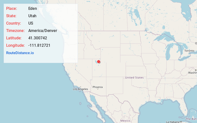
Full AddressEden, UT 84310
-
Coordinates41.3007423, -111.8127212
-
LocationEden , Utah , US
-
TimezoneAmerica/Denver
-
Current Local Time2:01:03 AM America/DenverWednesday, May 21, 2025
-
Page Views0
About Eden
Eden is a census-designated place in Weber County, Utah, United States. It is home to Powder Mountain ski resort. It lies between the North and Middle Fork of the Ogden River, north of Pineview Reservoir, in the Ogden Valley. The population was 600 at the 2010 census. It has a post office with the ZIP code 84310.


Nearby Places
Found 10 places within 50 miles

Wolf Creek
2.4 mi
3.9 km
Wolf Creek, UT 84310
Get directions

Liberty
3.5 mi
5.6 km
Liberty, UT 84310
Get directions

North Ogden
7.7 mi
12.4 km
North Ogden, UT
Get directions

Harrisville
9.2 mi
14.8 km
Harrisville, UT
Get directions

Pleasant View
9.4 mi
15.1 km
Pleasant View, UT
Get directions

Ogden
10.0 mi
16.1 km
Ogden, UT
Get directions

Mountain Green
11.0 mi
17.7 km
Mountain Green, UT 84050
Get directions

Farr West
11.2 mi
18.0 km
Farr West, UT 84404
Get directions

South Ogden
11.5 mi
18.5 km
South Ogden, UT
Get directions

Marriott-Slaterville
11.5 mi
18.5 km
Marriott-Slaterville, UT
Get directions
Location Links
Local Weather
Weather Information
Coming soon!
Location Map
Static map view of Eden, Utah
Browse Places by Distance
Places within specific distances from Eden
Short Distances
Long Distances
Click any distance to see all places within that range from Eden. Distances shown in miles (1 mile ≈ 1.61 kilometers).