Distance to Eden, Arizona

Calculating Your Route
Just a moment while we process your request...
Location Information
-
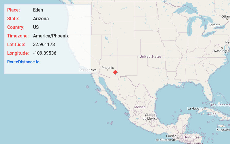
Full AddressEden, AZ 85543
-
Coordinates32.9611733, -109.8953601
-
LocationEden , Arizona , US
-
TimezoneAmerica/Phoenix
-
Current Local Time8:57:27 AM America/PhoenixThursday, June 19, 2025
-
Page Views0
About Eden
Eden is a small unincorporated community in Graham County, Arizona, United States. It is part of the Safford Micropolitan Statistical Area. Eden has a ZIP Code of 85535; in 2000, the population of the 85535 ZCTA was 150.
The first settlement at Eden was made in 1881.

Nearby Places
Found 10 places within 50 miles

Cork
1.4 mi
2.3 km
Cork, AZ 85543
Get directions
Dodge Nevada Canal
2.2 mi
3.5 km
Dodge Nevada Canal, Arizona 85543
Get directions
Glenbar
3.8 mi
6.1 km
Glenbar, AZ 85543
Get directions

Bryce
4.8 mi
7.7 km
Bryce, AZ 85543
Get directions
Little Spring
5.1 mi
8.2 km
Little Spring, Arizona 85543
Get directions
Dublin
5.7 mi
9.2 km
Dublin, Pima, AZ 85543
Get directions

Pima
6.0 mi
9.7 km
Pima, AZ 85543
Get directions

Fort Thomas
6.6 mi
10.6 km
Fort Thomas, AZ
Get directions
Emery
10.3 mi
16.6 km
Emery, AZ 85536
Get directions

Thatcher
11.1 mi
17.9 km
Thatcher, AZ 85552
Get directions
Location Links
Local Weather
Weather Information
Coming soon!
Location Map
Static map view of Eden, Arizona
Browse Places by Distance
Places within specific distances from Eden
Short Distances
Long Distances
Click any distance to see all places within that range from Eden. Distances shown in miles (1 mile ≈ 1.61 kilometers).