Distance to Edgar, Florida

Calculating Your Route
Just a moment while we process your request...
Location Information
-
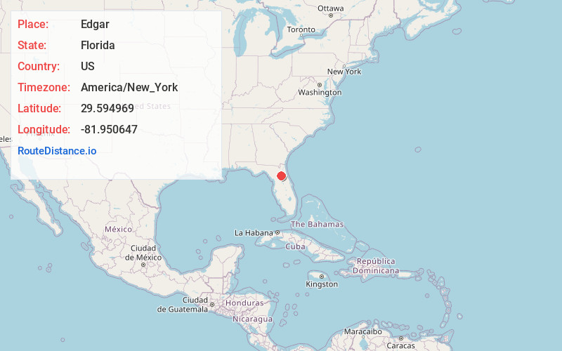
Full AddressEdgar, FL 32640
-
Coordinates29.594969, -81.9506473
-
LocationEdgar , Florida , US
-
TimezoneAmerica/New_York
-
Current Local Time5:33:45 PM America/New_YorkTuesday, June 17, 2025
-
Page Views0
About Edgar
Edgar is an unincorporated community in Putnam County, Florida, United States, located southwest of the town of Interlachen. Edgar is located along Putnam County Road 20A east of Crossley, Florida, and has a former Atlantic Coast Line Railroad spur leading to what is today the CSX Wildwood Subdivision.
Nearby Places
Found 10 places within 50 miles

Johnson
1.5 mi
2.4 km
Johnson, FL 32640
Get directions
McMeekin
3.7 mi
6.0 km
McMeekin, FL 32640
Get directions

Interlachen
4.1 mi
6.6 km
Interlachen, FL 32148
Get directions
Lands End Ranch
4.6 mi
7.4 km
Lands End Ranch, FL 32148
Get directions

Hawthorne
8.2 mi
13.2 km
Hawthorne, FL 32640
Get directions

Hollister
8.4 mi
13.5 km
Hollister, FL 32177
Get directions

Putnam Hall
9.8 mi
15.8 km
Putnam Hall, FL 32666
Get directions

Florahome
10.3 mi
16.6 km
Florahome, FL 32140
Get directions
Baywood
11.8 mi
19.0 km
Baywood, FL 32177
Get directions

Carraway
12.6 mi
20.3 km
Carraway, FL 32177
Get directions
Location Links
Local Weather
Weather Information
Coming soon!
Location Map
Static map view of Edgar, Florida
Browse Places by Distance
Places within specific distances from Edgar
Short Distances
Long Distances
Click any distance to see all places within that range from Edgar. Distances shown in miles (1 mile ≈ 1.61 kilometers).