Distance to Edgar, Nebraska

Calculating Your Route
Just a moment while we process your request...
Location Information
-
Full AddressEdgar, NE 68935
-
Coordinates40.3722317, -97.9714319
-
LocationEdgar , Nebraska , US
-
TimezoneAmerica/Chicago
-
Current Local Time2:32:57 AM America/ChicagoTuesday, June 17, 2025
-
Page Views0
About Edgar
Edgar is a city in Clay County, Nebraska, United States. The population was 498 at the 2010 census. It is part of the Hastings, Nebraska Micropolitan Statistical Area.
Nearby Places
Found 10 places within 50 miles

Clay Center
11.2 mi
18.0 km
Clay Center, NE 68933
Get directions

Sutton
17.2 mi
27.7 km
Sutton, NE 68979
Get directions
Harvard
18.3 mi
29.5 km
Harvard, NE 68944
Get directions

Deshler
20.7 mi
33.3 km
Deshler, NE 68340
Get directions

Geneva
22.5 mi
36.2 km
Geneva, NE 68361
Get directions
Superior
24.7 mi
39.8 km
Superior, NE 68978
Get directions

Hebron
24.8 mi
39.9 km
Hebron, NE 68370
Get directions
Blue Hill
25.4 mi
40.9 km
Blue Hill, NE 68930
Get directions

Hastings
26.5 mi
42.6 km
Hastings, NE
Get directions
Fairmont
27.2 mi
43.8 km
Fairmont, NE 68354
Get directions
Location Links
Local Weather
Weather Information
Coming soon!
Location Map
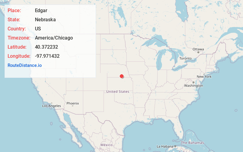
Static map view of Edgar, Nebraska
Browse Places by Distance
Places within specific distances from Edgar
Short Distances
Long Distances
Click any distance to see all places within that range from Edgar. Distances shown in miles (1 mile ≈ 1.61 kilometers).