Distance to Edgefield, Alabama

Calculating Your Route
Just a moment while we process your request...
Location Information
-
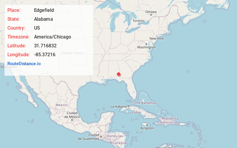
Full AddressEdgefield, AL 36016
-
Coordinates31.7168319, -85.3721595
-
LocationAlabama , US
-
TimezoneAmerica/Chicago
-
Current Local Time5:00:32 AM America/ChicagoMonday, June 23, 2025
-
Page Views0
Nearby Places
Found 10 places within 50 miles

Texasville
3.1 mi
5.0 km
Texasville, AL 36016
Get directions

Oateston
3.1 mi
5.0 km
Oateston, AL 36016
Get directions
Edwin
3.4 mi
5.5 km
Edwin, AL 36317
Get directions
Lime Sink
4.8 mi
7.7 km
Lime Sink, AL 36016
Get directions

Bakerhill
6.0 mi
9.7 km
Bakerhill, AL 36027
Get directions
Lindsey
6.4 mi
10.3 km
Lindsey, AL 36016
Get directions
Richards Crossroads
6.5 mi
10.5 km
Richards Crossroads, AL 36027
Get directions
Lawrenceville
7.3 mi
11.7 km
Lawrenceville, AL 36310
Get directions
Sandy Point
7.9 mi
12.7 km
Sandy Point, Bakerhill, AL 36027
Get directions
Clopton
8.2 mi
13.2 km
Clopton, AL
Get directions
Location Links
Local Weather
Weather Information
Coming soon!
Location Map
Static map view of Edgefield, Alabama
Browse Places by Distance
Places within specific distances from Edgefield
Short Distances
Long Distances
Click any distance to see all places within that range from Edgefield. Distances shown in miles (1 mile ≈ 1.61 kilometers).