Distance to Edinburg, Maine

Calculating Your Route
Just a moment while we process your request...
Location Information
-
Full AddressEdinburg, ME
-
Coordinates45.1764474, -68.6903078
-
LocationEdinburg , Maine , US
-
TimezoneAmerica/New_York
-
Current Local Time2:00:07 PM America/New_YorkWednesday, June 18, 2025
-
Page Views0
About Edinburg
Edinburg is a town in Penobscot County, Maine, United States. The population was 134 at the 2020 census. It is part of the Bangor Metropolitan Statistical Area. It is located between the towns of Argyle and Howland along Maine State Route 116 on the west bank of the Penobscot River.
Nearby Places
Found 10 places within 50 miles

Passadumkeag
3.6 mi
5.8 km
Passadumkeag, ME
Get directions
Howland
4.9 mi
7.9 km
Howland, ME
Get directions

Greenbush
6.9 mi
11.1 km
Greenbush, ME 04418
Get directions

Lagrange
7.6 mi
12.2 km
Lagrange, ME
Get directions

Enfield
7.9 mi
12.7 km
Enfield, ME 04493
Get directions
Alton
10.2 mi
16.4 km
Alton, ME 04468
Get directions
Medford
10.9 mi
17.5 km
Medford, ME 04463
Get directions

Lowell
10.9 mi
17.5 km
Lowell, ME
Get directions

Burlington
13.1 mi
21.1 km
Burlington, ME
Get directions

Bradford
14.2 mi
22.9 km
Bradford, ME 04410
Get directions
Location Links
Local Weather
Weather Information
Coming soon!
Location Map
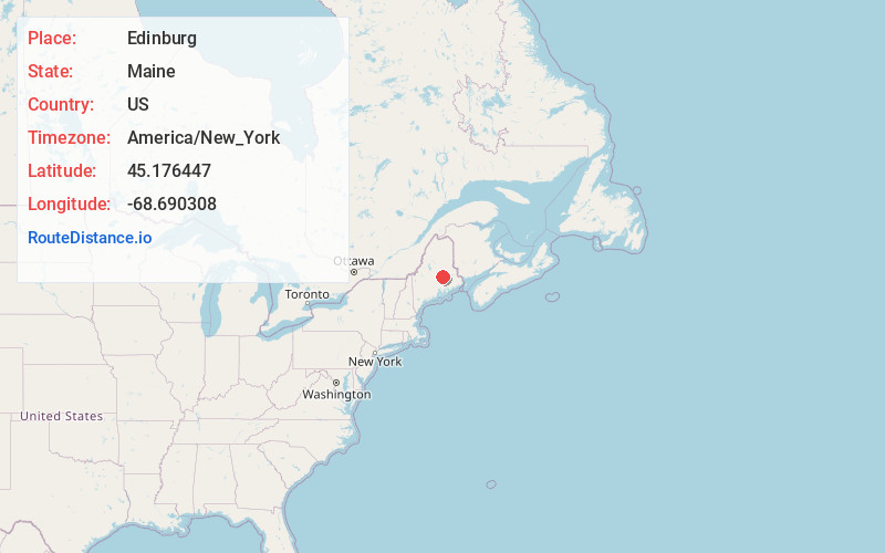
Static map view of Edinburg, Maine
Browse Places by Distance
Places within specific distances from Edinburg
Short Distances
Long Distances
Click any distance to see all places within that range from Edinburg. Distances shown in miles (1 mile ≈ 1.61 kilometers).