Distance to Edith, Texas

Calculating Your Route
Just a moment while we process your request...
Location Information
-
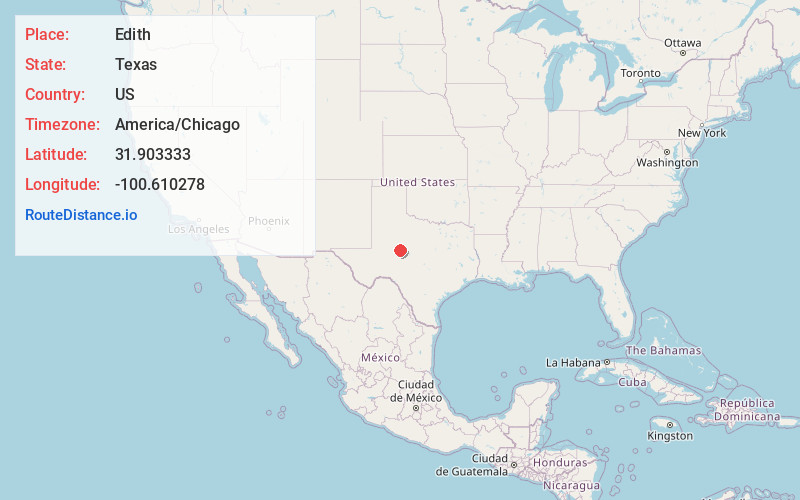
Full AddressEdith, TX 76945
-
Coordinates31.903333, -100.6102779
-
LocationEdith , Texas , US
-
TimezoneAmerica/Chicago
-
Current Local Time6:33:29 AM America/ChicagoSunday, June 29, 2025
-
Page Views0
About Edith
Edith is a ghost town in Coke County, Texas, United States, eight miles west of Robert Lee on Highway 158. The estimated 25 residents left by the 1970s.
Nearby Places
Found 10 places within 50 miles

Robert Lee
7.4 mi
11.9 km
Robert Lee, TX 76945
Get directions

Sanco
8.9 mi
14.3 km
Sanco, TX 76945
Get directions

Bronte
18.7 mi
30.1 km
Bronte, TX 76933
Get directions

Carlsbad
20.7 mi
33.3 km
Carlsbad, TX
Get directions
Blackwell
21.3 mi
34.3 km
Blackwell, TX 79506
Get directions
Grape Creek
22.0 mi
35.4 km
Grape Creek, TX 76901
Get directions

Sterling City
22.5 mi
36.2 km
Sterling City, TX 76951
Get directions

Wingate
30.9 mi
49.7 km
Wingate, TX
Get directions

San Angelo
32.0 mi
51.5 km
San Angelo, TX
Get directions

Miles
32.9 mi
52.9 km
Miles, TX 76861
Get directions
Location Links
Local Weather
Weather Information
Coming soon!
Location Map
Static map view of Edith, Texas
Browse Places by Distance
Places within specific distances from Edith
Short Distances
Long Distances
Click any distance to see all places within that range from Edith. Distances shown in miles (1 mile ≈ 1.61 kilometers).