Distance to Edith Enclave, New Mexico

Calculating Your Route
Just a moment while we process your request...
Location Information
-
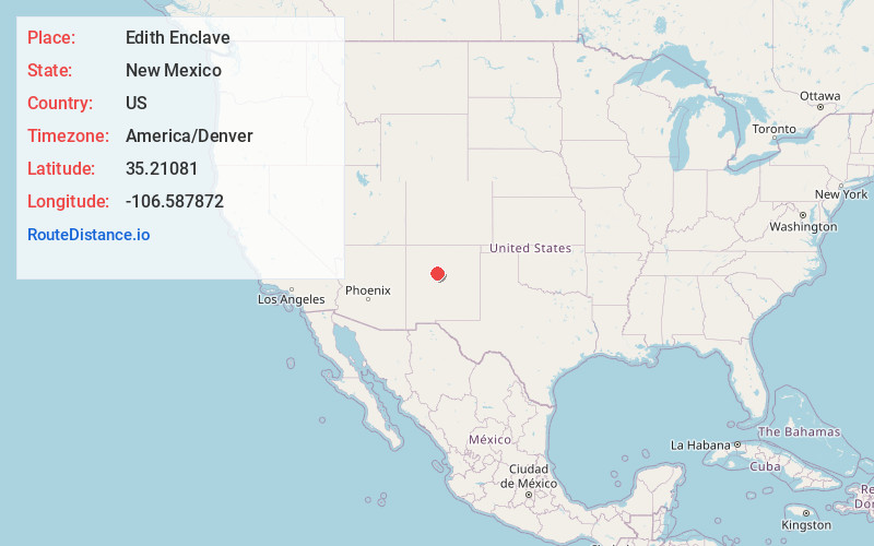
Full AddressEdith Enclave, NM
-
Coordinates35.2108095, -106.5878723
-
LocationEdith Enclave , New Mexico , US
-
TimezoneAmerica/Denver
-
Current Local Time7:03:14 PM America/DenverTuesday, May 20, 2025
-
Page Views0
About Edith Enclave
Edith Enclave is a census-designated place in Bernalillo County, New Mexico, United States. The population was 211 at the 2010 census. It is part of the Albuquerque Metropolitan Statistical Area.
Nearby Places
Found 10 places within 50 miles

Corrales
2.1 mi
3.4 km
Corrales, NM
Get directions

North Valley
2.2 mi
3.5 km
North Valley, NM
Get directions

Rio Rancho
4.5 mi
7.2 km
Rio Rancho, NM
Get directions

Los Ranchos De Albuquerque
4.6 mi
7.4 km
Los Ranchos De Albuquerque, NM
Get directions

Bernalillo
6.5 mi
10.5 km
Bernalillo, NM
Get directions

El Llanito
8.8 mi
14.2 km
El Llanito, NM 87004
Get directions
Rivajana
9.3 mi
15.0 km
Rivajana, Santa Ana Pueblo, NM 87004
Get directions

Albuquerque
9.4 mi
15.1 km
Albuquerque, NM
Get directions
Sandia Vista
9.4 mi
15.1 km
Sandia Vista, Albuquerque, NM 87123
Get directions

Santa Ana Pueblo
9.7 mi
15.6 km
Santa Ana Pueblo, NM
Get directions
Location Links
Local Weather
Weather Information
Coming soon!
Location Map
Static map view of Edith Enclave, New Mexico
Browse Places by Distance
Places within specific distances from Edith Enclave
Short Distances
Long Distances
Click any distance to see all places within that range from Edith Enclave. Distances shown in miles (1 mile ≈ 1.61 kilometers).