Distance to Edna, Kansas

Calculating Your Route
Just a moment while we process your request...
Location Information
-
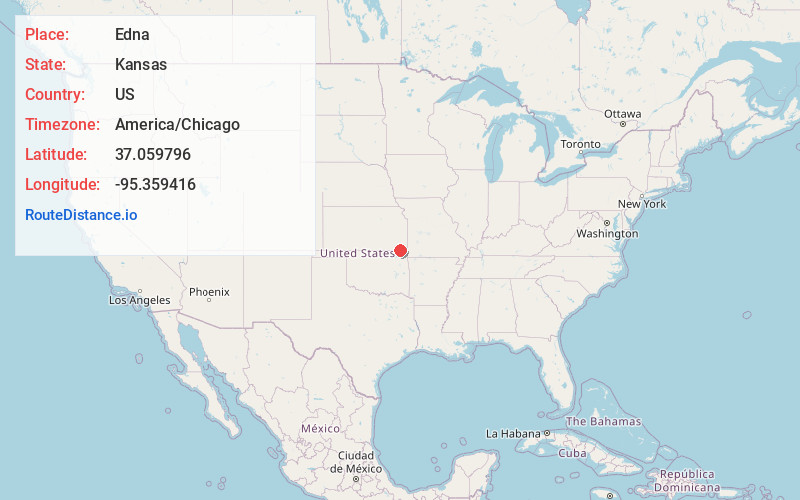
Full AddressEdna, KS 67342
-
Coordinates37.0597959, -95.3594159
-
LocationEdna , Kansas , US
-
TimezoneAmerica/Chicago
-
Current Local Time4:02:28 PM America/ChicagoSunday, June 22, 2025
-
Page Views0
About Edna
Edna is a city in Labette County, Kansas, United States. As of the 2020 census, the population of the city was 388.

Nearby Places
Found 10 places within 50 miles

Altamont
9.7 mi
15.6 km
Altamont, KS 67330
Get directions

Coffeyville
14.3 mi
23.0 km
Coffeyville, KS
Get directions

Chetopa
14.9 mi
24.0 km
Chetopa, KS 67336
Get directions

South Coffeyville
15.1 mi
24.3 km
South Coffeyville, OK 74072
Get directions

Oswego
15.6 mi
25.1 km
Oswego, KS
Get directions

Cherryvale
18.0 mi
29.0 km
Cherryvale, KS 67335
Get directions
Dearing
19.4 mi
31.2 km
Dearing, KS
Get directions

Welch
19.4 mi
31.2 km
Welch, OK 74369
Get directions

Parsons
20.1 mi
32.3 km
Parsons, KS
Get directions

Independence
22.3 mi
35.9 km
Independence, KS 67301
Get directions
Location Links
Local Weather
Weather Information
Coming soon!
Location Map
Static map view of Edna, Kansas
Browse Places by Distance
Places within specific distances from Edna
Short Distances
Long Distances
Click any distance to see all places within that range from Edna. Distances shown in miles (1 mile ≈ 1.61 kilometers).