Distance to Edson, Kansas

Calculating Your Route
Just a moment while we process your request...
Location Information
-
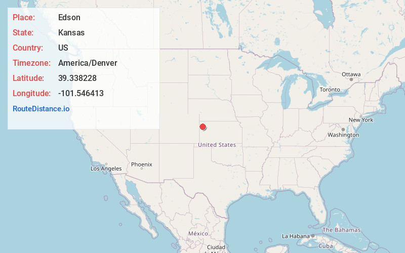
Full AddressEdson, KS 67733
-
Coordinates39.3382284, -101.5464127
-
LocationEdson , Kansas , US
-
TimezoneAmerica/Denver
-
Current Local Time7:56:06 PM America/DenverTuesday, June 3, 2025
-
Page Views0
About Edson
Edson is a census-designated place in Sherman County, Kansas, United States. As of the 2020 census, the population was 17. Edson is located near Interstate 70, 9 miles east of Goodland.
Nearby Places
Found 10 places within 50 miles

Goodland
8.8 mi
14.2 km
Goodland, KS 67735
Get directions

Brewster
9.3 mi
15.0 km
Brewster, KS 67732
Get directions
Levant
18.9 mi
30.4 km
Levant, KS 67743
Get directions
Winona
24.9 mi
40.1 km
Winona, KS 67764
Get directions

Kanorado
26.3 mi
42.3 km
Kanorado, KS 67741
Get directions

Colby
26.7 mi
43.0 km
Colby, KS 67701
Get directions

Bird City
28.5 mi
45.9 km
Bird City, KS 67731
Get directions
Wallace
29.6 mi
47.6 km
Wallace, KS 67761
Get directions

McDonald
32.4 mi
52.1 km
McDonald, KS 67745
Get directions

Sharon Springs
32.4 mi
52.1 km
Sharon Springs, KS 67758
Get directions
Location Links
Local Weather
Weather Information
Coming soon!
Location Map
Static map view of Edson, Kansas
Browse Places by Distance
Places within specific distances from Edson
Short Distances
Long Distances
Click any distance to see all places within that range from Edson. Distances shown in miles (1 mile ≈ 1.61 kilometers).