Distance to and from Edwards, Colorado
Edwards, CO 81632
Edwards
Colorado
US
America/Denver
Location Information
-
Full AddressEdwards, CO 81632
-
Coordinates39.644986, -106.5942
-
LocationEdwards , Colorado , US
-
TimezoneAmerica/Denver
-
Current Local Time10:25:49 PM America/DenverSunday, May 4, 2025
-
Page Views0
About Edwards
Edwards is an unincorporated town, a post office, and a census-designated place located in and governed by Eagle County, Colorado, United States. Edwards is the principal town of the Edwards, CO Micropolitan Statistical Area. The Edwards post office has the ZIP Code 81632.


Location Links
Local Weather
Weather Information
Coming soon!
Location Map
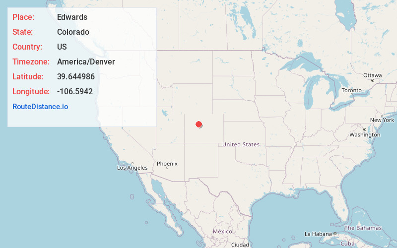
Static map view of Edwards, Colorado
Browse Places by Distance
Places within specific distances from Edwards
Short Distances
Long Distances
Click any distance to see all places within that range from Edwards. Distances shown in miles (1 mile ≈ 1.61 kilometers).