Distance to Edwards, Mississippi

Calculating Your Route
Just a moment while we process your request...
Location Information
-
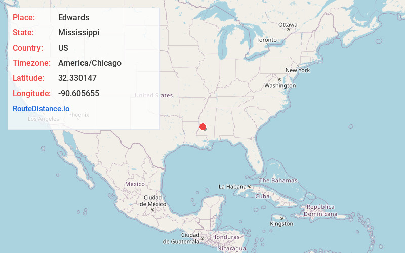
Full AddressEdwards, MS 39066
-
Coordinates32.3301465, -90.6056548
-
LocationEdwards , Mississippi , US
-
TimezoneAmerica/Chicago
-
Current Local Time10:06:34 AM America/ChicagoSaturday, June 7, 2025
-
Page Views0
About Edwards
Edwards is a town in Hinds County, Mississippi, United States. The population was 1,034 at the 2010 census, down from 1,347 at the 2000 census. It is part of the Jackson Metropolitan Statistical Area.


Nearby Places
Found 10 places within 50 miles

Bolton
8.6 mi
13.8 km
Bolton, MS 39041
Get directions

Raymond
11.8 mi
19.0 km
Raymond, MS 39154
Get directions

Beechwood
12.7 mi
20.4 km
Beechwood, MS 39180
Get directions

Utica
15.3 mi
24.6 km
Utica, MS 39175
Get directions

Vicksburg
16.0 mi
25.7 km
Vicksburg, MS
Get directions

Clinton
16.6 mi
26.7 km
Clinton, MS
Get directions

Flora
22.7 mi
36.5 km
Flora, MS 39071
Get directions

Byram
23.5 mi
37.8 km
Byram, MS
Get directions

Terry
24.3 mi
39.1 km
Terry, MS 39170
Get directions

Jackson
24.9 mi
40.1 km
Jackson, MS
Get directions
Location Links
Local Weather
Weather Information
Coming soon!
Location Map
Static map view of Edwards, Mississippi
Browse Places by Distance
Places within specific distances from Edwards
Short Distances
Long Distances
Click any distance to see all places within that range from Edwards. Distances shown in miles (1 mile ≈ 1.61 kilometers).