Distance to Efland, North Carolina

Calculating Your Route
Just a moment while we process your request...
Location Information
-
Full AddressEfland, NC
-
Coordinates36.0811881, -79.1690315
-
LocationEfland , North Carolina , US
-
TimezoneAmerica/New_York
-
Current Local Time5:39:11 PM America/New_YorkTuesday, June 17, 2025
-
Page Views0
About Efland
Efland is a census-designated place in Orange County, North Carolina, United States. As of the 2020 census, it had a population of 852, up from the 2010 census population of 734.
Efland is located along U.S. Route 70, 3 miles west of Hillsborough, the Orange County seat, and 5 miles east of Mebane.

Nearby Places
Found 10 places within 50 miles

Hillsborough
3.9 mi
6.3 km
Hillsborough, NC 27278
Get directions

Mebane
5.7 mi
9.2 km
Mebane, NC
Get directions

Woodlawn
7.3 mi
11.7 km
Woodlawn, NC 27302
Get directions
Green Level
10.5 mi
16.9 km
Green Level, NC 27217
Get directions

Haw River
10.5 mi
16.9 km
Haw River, NC
Get directions

Swepsonville
11.2 mi
18.0 km
Swepsonville, NC
Get directions

Saxapahaw
12.6 mi
20.3 km
Saxapahaw, NC 27253
Get directions

Carrboro
12.9 mi
20.8 km
Carrboro, NC
Get directions

Graham
13.0 mi
20.9 km
Graham, NC
Get directions

Chapel Hill
13.2 mi
21.2 km
Chapel Hill, NC
Get directions
Location Links
Local Weather
Weather Information
Coming soon!
Location Map
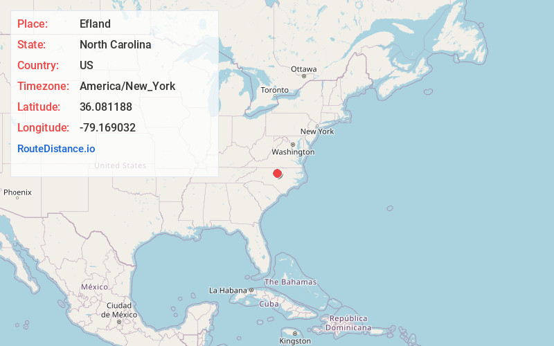
Static map view of Efland, North Carolina
Browse Places by Distance
Places within specific distances from Efland
Short Distances
Long Distances
Click any distance to see all places within that range from Efland. Distances shown in miles (1 mile ≈ 1.61 kilometers).