Distance to and from El Calafate, Santa Cruz Province
El Calafate, Santa Cruz Province, Argentina
El Calafate
Santa Cruz Province
AR
America/Argentina/Rio_Gallegos
Location Information
-
Full AddressEl Calafate, Santa Cruz Province, Argentina
-
Coordinates-50.337969, -72.2647982
-
LocationEl Calafate , Santa Cruz Province , AR
-
TimezoneAmerica/Argentina/Rio_Gallegos
-
Current Local Time4:12:27 AM America/Argentina/Rio_GallegosSunday, May 4, 2025
-
Page Views0
About El Calafate
El Calafate is a town near the edge of the Southern Patagonian Ice Field in the Argentine province of Santa Cruz. It’s mainly known as the gateway to Los Glaciares National Park, home to the massive Perito Moreno Glacier, whose ever-shifting icy landscape is popular for hiking and sightseeing. A modern interpretive center called the Glaciarium serves as a primer on the region’s numerous glaciers.


Location Links
Local Weather
Weather Information
Coming soon!
Location Map
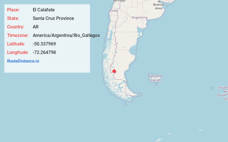
Static map view of El Calafate, Santa Cruz Province
Browse Places by Distance
Places within specific distances from El Calafate
Short Distances
Long Distances
Click any distance to see all places within that range from El Calafate. Distances shown in miles (1 mile ≈ 1.61 kilometers).