Distance to El Chaltén, Santa Cruz Province
Location Information
-
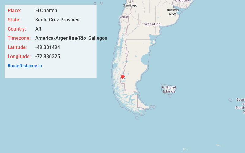
Full AddressEl Chaltén, Santa Cruz Province, Argentina
-
Coordinates-49.3314941, -72.886325
-
LocationEl Chaltén , Santa Cruz Province , AR
-
TimezoneAmerica/Argentina/Rio_Gallegos
-
Current Local Time3:34:22 AM America/Argentina/Rio_GallegosThursday, May 15, 2025
-
Website
-
Page Views0
About El Chaltén
El Chaltén is a village within Los Glaciares National Park in Argentina’s Santa Cruz province. It’s a gateway to trails surrounding the peaks of Cerro Torre and Mount Fitz Roy to the northwest. Near Fitz Roy, a path leads to the Laguna de los Tres viewpoint. Just northwest of the village, the shores of Laguna Capri offer mountain views. Shops line San Martín, one of the village’s main streets.


Leaflet © OpenStreetMap contributors
Location Links
Local Weather
Weather Information
Coming soon!
Location Map
Static map view of El Chaltén, Santa Cruz Province
Browse Places by Distance
Places within specific distances from El Chaltén
Short Distances
Long Distances
Click any distance to see all places within that range from El Chaltén. Distances shown in miles (1 mile ≈ 1.61 kilometers).