Distance to El Dorado, Arkansas

Calculating Your Route
Just a moment while we process your request...
Location Information
-
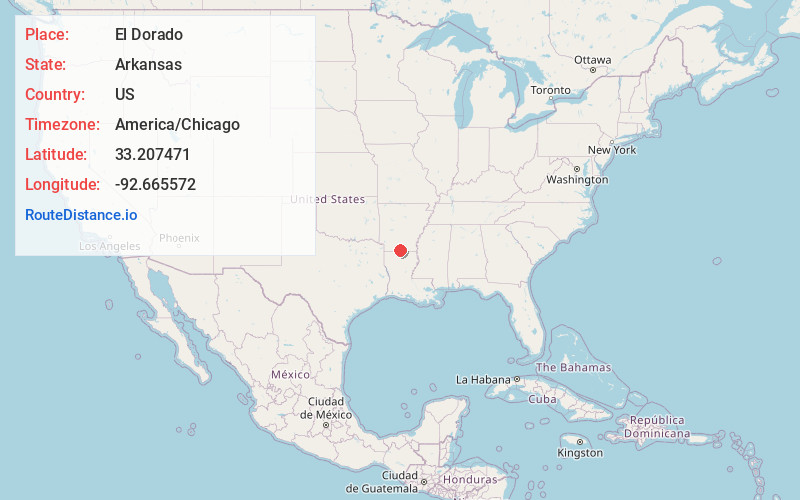
Full AddressEl Dorado, AR 71730
-
Coordinates33.207471, -92.6655716
-
LocationEl Dorado , Arkansas , US
-
TimezoneAmerica/Chicago
-
Current Local Time10:47:21 AM America/ChicagoSunday, June 1, 2025
-
Website
-
Page Views0
About El Dorado
El Dorado is a city in and the county seat of Union County, on the southern border of Arkansas, United States. According to the 2020 census, the population of the city is 17,755.


Nearby Places
Found 1 places within 50 miles

Location Links
Local Weather
Weather Information
Coming soon!
Location Map
Static map view of El Dorado, Arkansas
Browse Places by Distance
Places within specific distances from El Dorado
Short Distances
Long Distances
Click any distance to see all places within that range from El Dorado. Distances shown in miles (1 mile ≈ 1.61 kilometers).