Distance to Elamtown, Virginia

Calculating Your Route
Just a moment while we process your request...
Location Information
-
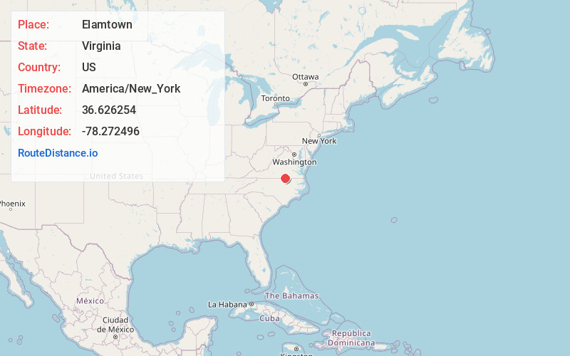
Full AddressElamtown, VA 23915
-
Coordinates36.6262536, -78.2724964
-
LocationVirginia , US
-
TimezoneAmerica/New_York
-
Current Local Time7:30:16 AM America/New_YorkTuesday, June 3, 2025
-
Page Views0
Nearby Places
Found 10 places within 50 miles

Redlawn
1.7 mi
2.7 km
Redlawn, VA 23919
Get directions
Castle Heights
2.1 mi
3.4 km
Castle Heights, VA 23917
Get directions
Baskerville
4.3 mi
6.9 km
Baskerville, VA 23915
Get directions
Big Fork
4.6 mi
7.4 km
Big Fork, VA 23970
Get directions
Palmer Crossroads
5.3 mi
8.5 km
Palmer Crossroads, VA 23917
Get directions
Keats
5.8 mi
9.3 km
Keats, VA 23917
Get directions

Union Level
6.6 mi
10.6 km
Union Level, VA 23970
Get directions

Boydton
7.0 mi
11.3 km
Boydton, VA 23917
Get directions
Eppes Fork
7.1 mi
11.4 km
Eppes Fork, VA 23927
Get directions

Bracey
7.4 mi
11.9 km
Bracey, VA
Get directions
Location Links
Local Weather
Weather Information
Coming soon!
Location Map
Static map view of Elamtown, Virginia
Browse Places by Distance
Places within specific distances from Elamtown
Short Distances
Long Distances
Click any distance to see all places within that range from Elamtown. Distances shown in miles (1 mile ≈ 1.61 kilometers).