Distance to and from Eldora, Florida
Eldora, FL 32169
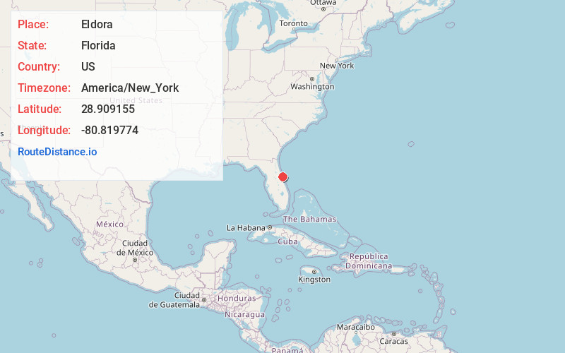
Eldora
Florida
US
America/New_York
Location Information
-
Full AddressEldora, FL 32169
-
Coordinates28.9091547, -80.8197741
-
LocationEldora , Florida , US
-
TimezoneAmerica/New_York
-
Current Local Time6:44:52 PM America/New_YorkSaturday, May 3, 2025
-
Page Views0
Directions to Nearest Cities
About Eldora
Eldora is an uninhabited place in Volusia County, Florida, United States. It is located within Canaveral National Seashore, south of Bethune Beach and west of County Road A1A. The average elevation is 3 feet above sea level.


Nearby Places
Found 10 places within 50 miles

Oak Hill
3.7 mi
6.0 km
Oak Hill, FL
Get directions

Edgewater
7.4 mi
11.9 km
Edgewater, FL
Get directions

Shiloh
8.2 mi
13.2 km
Shiloh, FL
Get directions

Scottsmoor
10.4 mi
16.7 km
Scottsmoor, FL 32754
Get directions
Glencoe
10.9 mi
17.5 km
Glencoe, FL 32168
Get directions
Cow Creek
13.5 mi
21.7 km
Cow Creek, FL 32764
Get directions

Ponce Inlet
14.7 mi
23.7 km
Ponce Inlet, FL
Get directions

Mims
16.9 mi
27.2 km
Mims, FL
Get directions
Samsula-Spruce Creek
17.3 mi
27.8 km
Samsula-Spruce Creek, FL
Get directions

Port Orange
19.1 mi
30.7 km
Port Orange, FL
Get directions
Oak Hill
3.7 mi
6.0 km
Oak Hill, FL
Edgewater
7.4 mi
11.9 km
Edgewater, FL
Shiloh
8.2 mi
13.2 km
Shiloh, FL
Scottsmoor
10.4 mi
16.7 km
Scottsmoor, FL 32754
Glencoe
10.9 mi
17.5 km
Glencoe, FL 32168
Cow Creek
13.5 mi
21.7 km
Cow Creek, FL 32764
Ponce Inlet
14.7 mi
23.7 km
Ponce Inlet, FL
Mims
16.9 mi
27.2 km
Mims, FL
Samsula-Spruce Creek
17.3 mi
27.8 km
Samsula-Spruce Creek, FL
Port Orange
19.1 mi
30.7 km
Port Orange, FL
Location Links
Local Weather
Weather Information
Coming soon!
Location Map
Static map view of Eldora, Florida
Browse Places by Distance
Places within specific distances from Eldora
Short Distances
Long Distances
Click any distance to see all places within that range from Eldora. Distances shown in miles (1 mile ≈ 1.61 kilometers).