Distance to Elgin, Illinois

Calculating Your Route
Just a moment while we process your request...
Location Information
-
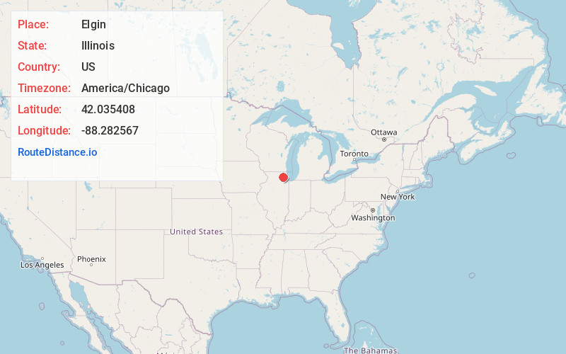
Full AddressElgin, IL
-
Coordinates42.0354084, -88.2825668
-
LocationElgin , Illinois , US
-
TimezoneAmerica/Chicago
-
Current Local Time4:55:05 AM America/ChicagoThursday, June 19, 2025
-
Website
-
Page Views0
About Elgin
Elgin is a city in Cook and Kane counties in the U.S. state of Illinois. It is located 35 mi northwest of Chicago along the Fox River. As of the 2020 census, the city had a population of 114,797, making it the sixth-most populous city in the state.


Nearby Places
Found 8 places within 50 miles

Aurora
19.1 mi
30.7 km
Aurora, IL
Get directions

Naperville
20.8 mi
33.5 km
Naperville, IL
Get directions

Cicero
30.4 mi
48.9 km
Cicero, IL
Get directions

Waukegan
31.9 mi
51.3 km
Waukegan, IL
Get directions

Chicago
35.3 mi
56.8 km
Chicago, IL
Get directions

Joliet
36.7 mi
59.1 km
Joliet, IL
Get directions

Rockford
44.3 mi
71.3 km
Rockford, IL
Get directions

Kenosha
44.6 mi
71.8 km
Kenosha, WI
Get directions
Location Links
Local Weather
Weather Information
Coming soon!
Location Map
Static map view of Elgin, Illinois
Browse Places by Distance
Places within specific distances from Elgin
Short Distances
Long Distances
Click any distance to see all places within that range from Elgin. Distances shown in miles (1 mile ≈ 1.61 kilometers).