Distance to Elgin, Oklahoma

Calculating Your Route
Just a moment while we process your request...
Location Information
-
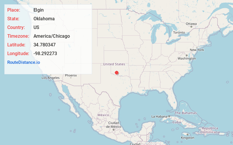
Full AddressElgin, OK 73538
-
Coordinates34.7803469, -98.292273
-
LocationElgin , Oklahoma , US
-
TimezoneAmerica/Chicago
-
Current Local Time6:04:53 PM America/ChicagoSunday, June 15, 2025
-
Page Views0
About Elgin
Elgin is a city in northeastern Comanche County, Oklahoma, United States. The population was 2,156 at the 2010 census, a 78 percent increase from 1,210 at the 2000 census. It is included in the Lawton, Oklahoma Metropolitan Statistical Area. It is the site of Fort Sill National Cemetery.

Nearby Places
Found 9 places within 50 miles

Lawton
13.6 mi
21.9 km
Lawton, OK
Get directions

Anadarko
20.4 mi
32.8 km
Anadarko, OK 73005
Get directions

Marlow
21.1 mi
34.0 km
Marlow, OK 73055
Get directions

Duncan
27.0 mi
43.5 km
Duncan, OK
Get directions

Chickasha
27.6 mi
44.4 km
Chickasha, OK
Get directions

Blanchard
43.6 mi
70.2 km
Blanchard, OK
Get directions

Tuttle
44.5 mi
71.6 km
Tuttle, OK 73089
Get directions

Hinton
47.9 mi
77.1 km
Hinton, OK 73047
Get directions

Burkburnett
49.8 mi
80.1 km
Burkburnett, TX 76354
Get directions
Location Links
Local Weather
Weather Information
Coming soon!
Location Map
Static map view of Elgin, Oklahoma
Browse Places by Distance
Places within specific distances from Elgin
Short Distances
Long Distances
Click any distance to see all places within that range from Elgin. Distances shown in miles (1 mile ≈ 1.61 kilometers).