Distance to Eli, Kentucky

Calculating Your Route
Just a moment while we process your request...
Location Information
-
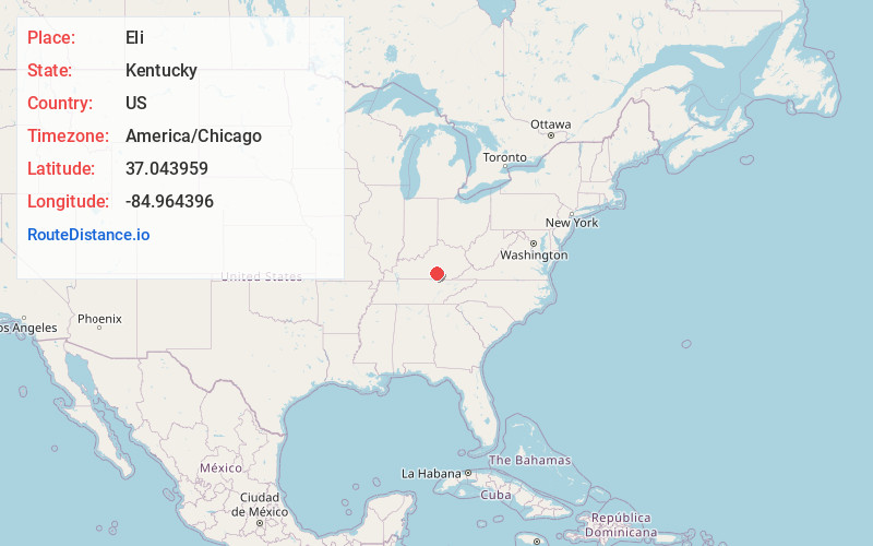
Full AddressEli, KY 42642
-
Coordinates37.0439593, -84.9643959
-
LocationEli , Kentucky , US
-
TimezoneAmerica/Chicago
-
Current Local Time12:02:49 AM America/ChicagoFriday, June 20, 2025
-
Page Views0
About Eli
Eli is an unincorporated community located in Russell County, Kentucky, United States.
Nearby Places
Found 10 places within 50 miles

Whittle
1.5 mi
2.4 km
Whittle, KY 42642
Get directions
Horntown
2.8 mi
4.5 km
Horntown, KY 42642
Get directions
Dorena
3.4 mi
5.5 km
Dorena, KY 42642
Get directions
Honey Acre
4.8 mi
7.7 km
Honey Acre, KY 42642
Get directions
Karlus
4.9 mi
7.9 km
Karlus, KY 42629
Get directions

Jabez
5.5 mi
8.9 km
Jabez, KY 42544
Get directions
Vinnie
5.7 mi
9.2 km
Vinnie, KY 42544
Get directions
Decatur
5.9 mi
9.5 km
Decatur, KY 42528
Get directions
Humble
6.4 mi
10.3 km
Humble, KY 42642
Get directions

Windsor
6.5 mi
10.5 km
Windsor, KY 42565
Get directions
Location Links
Local Weather
Weather Information
Coming soon!
Location Map
Static map view of Eli, Kentucky
Browse Places by Distance
Places within specific distances from Eli
Short Distances
Long Distances
Click any distance to see all places within that range from Eli. Distances shown in miles (1 mile ≈ 1.61 kilometers).