Distance to Elkader, Iowa

Calculating Your Route
Just a moment while we process your request...
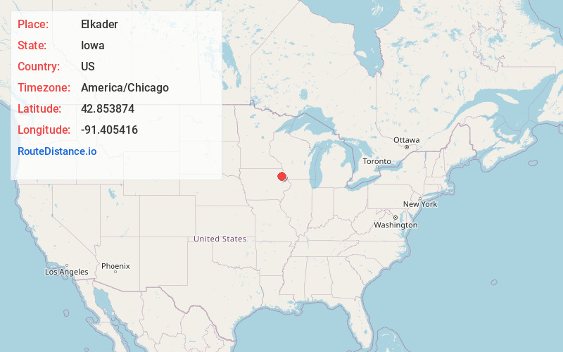
Location Information
-
Full AddressElkader, IA 52043
-
Coordinates42.8538739, -91.4054159
-
LocationElkader , Iowa , US
-
TimezoneAmerica/Chicago
-
Current Local Time9:59:22 PM America/ChicagoSunday, June 22, 2025
-
Page Views0
About Elkader
Elkader is a city in Clayton County, Iowa, United States. The population was 1,209 at the time of the 2020 census, down from 1,465 in 2000. It is the county seat of Clayton County. It is the site of Iowa's lowest recorded minimum temperature, −44 °C on February 3, 1996.


Nearby Places
Found 10 places within 50 miles

Strawberry Point
13.5 mi
21.7 km
Strawberry Point, IA 52076
Get directions

Monona
13.7 mi
22.0 km
Monona, IA 52159
Get directions

Guttenberg
16.0 mi
25.7 km
Guttenberg, IA 52052
Get directions

Postville
17.9 mi
28.8 km
Postville, IA 52162
Get directions

Prairie du Chien
19.1 mi
30.7 km
Prairie du Chien, WI 53821
Get directions

West Union
21.7 mi
34.9 km
West Union, IA 52175
Get directions

Manchester
25.6 mi
41.2 km
Manchester, IA 52057
Get directions

Oelwein
28.4 mi
45.7 km
Oelwein, IA 50662
Get directions

Waukon
28.9 mi
46.5 km
Waukon, IA 52172
Get directions

Dyersville
29.7 mi
47.8 km
Dyersville, IA
Get directions
Location Links
Local Weather
Weather Information
Coming soon!
Location Map
Static map view of Elkader, Iowa
Browse Places by Distance
Places within specific distances from Elkader
Short Distances
Long Distances
Click any distance to see all places within that range from Elkader. Distances shown in miles (1 mile ≈ 1.61 kilometers).