Distance to Elliff, Missouri

Calculating Your Route
Just a moment while we process your request...
Location Information
-
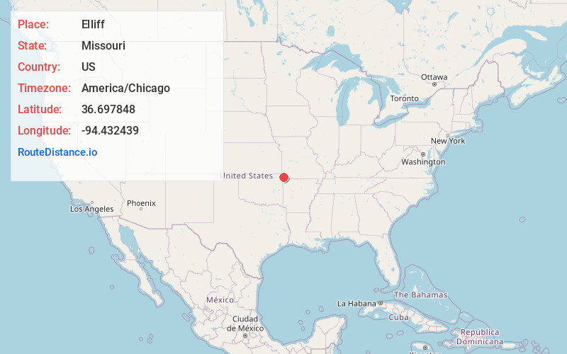
Full AddressElliff, MO 64843
-
Coordinates36.6978482, -94.4324392
-
LocationElliff , Missouri , US
-
TimezoneAmerica/Chicago
-
Current Local Time4:25:22 AM America/ChicagoWednesday, June 18, 2025
-
Page Views0
Nearby Places
Found 10 places within 50 miles

Kelley Springs
1.4 mi
2.3 km
Kelley Springs, Anderson East Township, MO 64843
Get directions
Goodman
3.1 mi
5.0 km
Goodman, MO 64843
Get directions

Anderson
3.3 mi
5.3 km
Anderson, MO 64831
Get directions

Lanagan
6.3 mi
10.1 km
Lanagan, MO
Get directions
Sugar Beach
7.5 mi
12.1 km
Sugar Beach, Pineville North Township, MO 64856
Get directions
Crag O Lea
7.6 mi
12.2 km
Crag O Lea, Pineville North Township, MO 64856
Get directions

Pineville
7.6 mi
12.2 km
Pineville, MO
Get directions

Ginger Blue
7.7 mi
12.4 km
Ginger Blue, MO 64854
Get directions
Elk Springs
8.0 mi
12.9 km
Elk Springs, Elk River West Township, MO 64854
Get directions
Havenhurst
8.5 mi
13.7 km
Havenhurst, Pineville, MO 64856
Get directions
Location Links
Local Weather
Weather Information
Coming soon!
Location Map
Static map view of Elliff, Missouri
Browse Places by Distance
Places within specific distances from Elliff
Short Distances
Long Distances
Click any distance to see all places within that range from Elliff. Distances shown in miles (1 mile ≈ 1.61 kilometers).