Distance to Ellington, Connecticut

Calculating Your Route
Just a moment while we process your request...
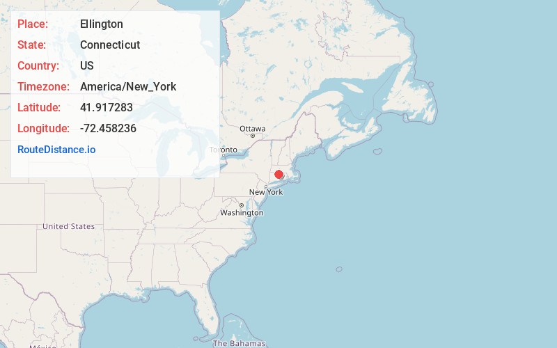
Location Information
-
Full AddressEllington, CT
-
Coordinates41.9172826, -72.458236
-
LocationEllington , Connecticut , US
-
TimezoneAmerica/New_York
-
Current Local Time3:44:41 AM America/New_YorkFriday, June 20, 2025
-
Page Views0
About Ellington
Ellington is a town in Tolland County, Connecticut, United States. Ellington was incorporated in May 1786, from East Windsor. The town is part of the Capitol Planning Region. As of the 2020 census, the town population was 16,426.


Nearby Places
Found 10 places within 50 miles

Broad Brook
2.1 mi
3.4 km
Broad Brook, Connecticut
Get directions

Quarryville
4.1 mi
6.6 km
Quarryville, Tolland, CT 06084
Get directions

Stafford
8.6 mi
13.8 km
Stafford, CT
Get directions

Hampden
10.4 mi
16.7 km
Hampden, MA 01036
Get directions

East Longmeadow
10.6 mi
17.1 km
East Longmeadow, MA 01028
Get directions

Longmeadow
11.2 mi
18.0 km
Longmeadow, MA
Get directions

Agawam
13.2 mi
21.2 km
Agawam, MA
Get directions

Wilbraham
14.2 mi
22.9 km
Wilbraham, MA 01095
Get directions

Springfield
14.4 mi
23.2 km
Springfield, MA
Get directions

Monson
14.8 mi
23.8 km
Monson, MA
Get directions
Location Links
Local Weather
Weather Information
Coming soon!
Location Map
Static map view of Ellington, Connecticut
Browse Places by Distance
Places within specific distances from Ellington
Short Distances
Long Distances
Click any distance to see all places within that range from Ellington. Distances shown in miles (1 mile ≈ 1.61 kilometers).