Distance to Ellsworth, Ohio

Calculating Your Route
Just a moment while we process your request...
Location Information
-
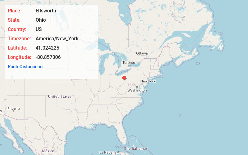
Full AddressEllsworth, OH 44406
-
Coordinates41.024225, -80.8573063
-
LocationEllsworth , Ohio , US
-
TimezoneAmerica/New_York
-
Current Local Time12:13:52 AM America/New_YorkWednesday, June 4, 2025
-
Page Views0
About Ellsworth
Ellsworth is an unincorporated community in central Ellsworth Township, Ohio, United States. It is part of the Youngstown–Warren metropolitan area. It lies at the intersection of U.S. Route 224 and State Route 45, and has a post office with the ZIP code 44416.
Nearby Places
Found 10 places within 50 miles

Geeburg
2.0 mi
3.2 km
Geeburg, Ellsworth Township, OH 44406
Get directions
Camp Park
4.6 mi
7.4 km
Camp Park, Austintown Township, OH 44406
Get directions

Berlin Center
4.7 mi
7.6 km
Berlin Center, OH 44401
Get directions

Canfield
5.0 mi
8.0 km
Canfield, OH 44406
Get directions
Calla
5.8 mi
9.3 km
Calla, OH 44406
Get directions
Pointview
5.9 mi
9.5 km
Pointview, Goshen Township, OH 44460
Get directions
Blanco
6.8 mi
10.9 km
Blanco, Milton Township, OH 44412
Get directions
Christytown
6.9 mi
11.1 km
Christytown, Berlin Township, OH 44449
Get directions

Austintown
7.2 mi
11.6 km
Austintown, OH
Get directions

Lake Milton
7.9 mi
12.7 km
Lake Milton, OH
Get directions
Location Links
Local Weather
Weather Information
Coming soon!
Location Map
Static map view of Ellsworth, Ohio
Browse Places by Distance
Places within specific distances from Ellsworth
Short Distances
Long Distances
Click any distance to see all places within that range from Ellsworth. Distances shown in miles (1 mile ≈ 1.61 kilometers).