Distance to Ellwood, California

Calculating Your Route
Just a moment while we process your request...
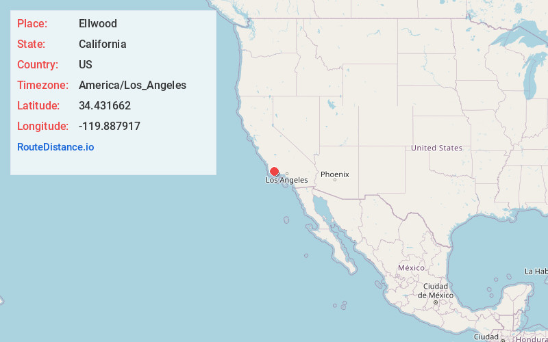
Location Information
-
Full AddressEllwood, Goleta, CA 93117
-
Coordinates34.4316617, -119.8879169
-
LocationGoleta , California , US
-
TimezoneAmerica/Los_Angeles
-
Current Local Time1:19:59 PM America/Los_AngelesTuesday, June 3, 2025
-
Page Views0


Nearby Places
Found 10 places within 50 miles

Coromar
1.2 mi
1.9 km
Coromar, Goleta, CA 93117
Get directions

Isla Vista
2.0 mi
3.2 km
Isla Vista, CA
Get directions

University of California, Santa Barbara
2.5 mi
4.0 km
University of California, Santa Barbara, Santa Barbara, CA 93106
Get directions
La Patera
2.6 mi
4.2 km
La Patera, Goleta, CA 93117
Get directions

Goleta
3.4 mi
5.5 km
Goleta, CA
Get directions
El Sueno
6.7 mi
10.8 km
El Sueno, Eastern Goleta Valley, CA 93110
Get directions

Mission Canyon
10.1 mi
16.3 km
Mission Canyon, CA 93105
Get directions

Santa Barbara
10.8 mi
17.4 km
Santa Barbara, CA
Get directions
Cachuma Village
12.2 mi
19.6 km
Cachuma Village, CA 93105
Get directions

Tajiguas
12.8 mi
20.6 km
Tajiguas, CA 93117
Get directions
Location Links
Local Weather
Weather Information
Coming soon!
Location Map
Static map view of Ellwood, California
Browse Places by Distance
Places within specific distances from Ellwood
Short Distances
Long Distances
Click any distance to see all places within that range from Ellwood. Distances shown in miles (1 mile ≈ 1.61 kilometers).