Distance to Elmer, Louisiana

Calculating Your Route
Just a moment while we process your request...
Location Information
-
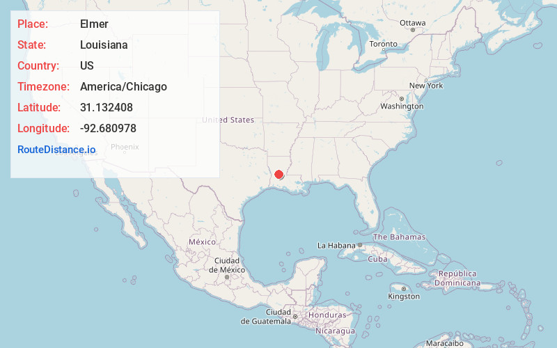
Full AddressElmer, LA 71424
-
Coordinates31.132408, -92.6809781
-
LocationElmer , Louisiana , US
-
TimezoneAmerica/Chicago
-
Current Local Time7:57:44 AM America/ChicagoMonday, June 2, 2025
-
Page Views0
About Elmer
Elmer is an unincorporated community in Rapides Parish, Louisiana, United States. The community is located on Louisiana Highway 112, 18.6 miles southwest of Alexandria. Elmer has a post office with ZIP code 71424, which opened on May 15, 1888.
Nearby Places
Found 10 places within 50 miles

Gardner
9.5 mi
15.3 km
Gardner, LA 71409
Get directions

Forest Hill
10.8 mi
17.4 km
Forest Hill, LA 71430
Get directions

Woodworth
10.9 mi
17.5 km
Woodworth, LA
Get directions
McNary
11.8 mi
19.0 km
McNary, LA 71433
Get directions

Glenmora
12.2 mi
19.6 km
Glenmora, LA 71433
Get directions

Lecompte
16.8 mi
27.0 km
Lecompte, LA
Get directions

Boyce
17.8 mi
28.6 km
Boyce, LA 71409
Get directions

Alexandria
18.6 mi
29.9 km
Alexandria, LA
Get directions
Elizabeth
19.4 mi
31.2 km
Elizabeth, LA
Get directions

Pineville
19.6 mi
31.5 km
Pineville, LA
Get directions
Location Links
Local Weather
Weather Information
Coming soon!
Location Map
Static map view of Elmer, Louisiana
Browse Places by Distance
Places within specific distances from Elmer
Short Distances
Long Distances
Click any distance to see all places within that range from Elmer. Distances shown in miles (1 mile ≈ 1.61 kilometers).