Distance to Elmfield, Louisiana

Calculating Your Route
Just a moment while we process your request...
Location Information
-
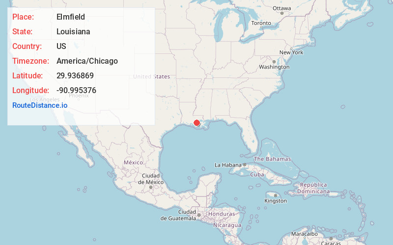
Full AddressElmfield, LA 70390
-
Coordinates29.9368694, -90.9953762
-
LocationLouisiana , US
-
TimezoneAmerica/Chicago
-
Current Local Time3:21:29 PM America/ChicagoSunday, June 22, 2025
-
Page Views0
Nearby Places
Found 10 places within 50 miles

Madewood
0.5 mi
0.8 km
Madewood, LA 70390
Get directions
Bertie
1.3 mi
2.1 km
Bertie, LA 70390
Get directions
Ratliff
1.8 mi
2.9 km
Ratliff, LA 70390
Get directions

Napoleonville
1.9 mi
3.1 km
Napoleonville, LA 70390
Get directions
Foley
2.0 mi
3.2 km
Foley, LA 70390
Get directions
Glenwood
3.1 mi
5.0 km
Glenwood, LA 70390
Get directions
St Thomas
3.1 mi
5.0 km
St Thomas, LA 70390
Get directions
Cancienne
3.1 mi
5.0 km
Cancienne, LA 70390
Get directions
Elm Hall
3.3 mi
5.3 km
Elm Hall, LA 70390
Get directions
Church Spur
3.3 mi
5.3 km
Church Spur, Plattenville, LA 70390
Get directions
Location Links
Local Weather
Weather Information
Coming soon!
Location Map
Static map view of Elmfield, Louisiana
Browse Places by Distance
Places within specific distances from Elmfield
Short Distances
Long Distances
Click any distance to see all places within that range from Elmfield. Distances shown in miles (1 mile ≈ 1.61 kilometers).