Distance to Elmodel, Georgia

Calculating Your Route
Just a moment while we process your request...
Location Information
-
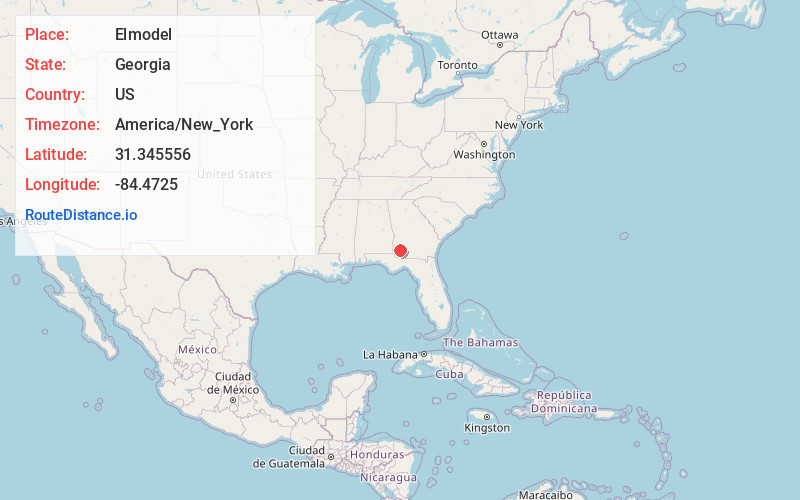
Full AddressElmodel, GA 39870
-
Coordinates31.345556, -84.4725
-
LocationElmodel , Georgia , US
-
TimezoneAmerica/New_York
-
Current Local Time1:47:48 AM America/New_YorkSaturday, June 21, 2025
-
Page Views0
About Elmodel
Elmodel is an unincorporated community in northern Baker County, Georgia, United States. It lies on State Route 37 to the northeast of the city of Newton, the county seat of Baker County. Its elevation is 161 feet.
Nearby Places
Found 10 places within 50 miles

Milford
4.9 mi
7.9 km
Milford, GA 39862
Get directions
Hawkinstown
5.8 mi
9.3 km
Hawkinstown, GA 39870
Get directions

Patmos
5.8 mi
9.3 km
Patmos, GA 39862
Get directions
Mimsville
7.0 mi
11.3 km
Mimsville, GA 39870
Get directions
Iveys Mill
7.4 mi
11.9 km
Iveys Mill, GA 39862
Get directions
Bethany
7.9 mi
12.7 km
Bethany, GA 39841
Get directions

Newton
8.4 mi
13.5 km
Newton, GA
Get directions
Crestview
8.7 mi
14.0 km
Crestview, GA 39813
Get directions

Leary
10.0 mi
16.1 km
Leary, GA 39862
Get directions
Cooktown
10.9 mi
17.5 km
Cooktown, GA 39837
Get directions
Location Links
Local Weather
Weather Information
Coming soon!
Location Map
Static map view of Elmodel, Georgia
Browse Places by Distance
Places within specific distances from Elmodel
Short Distances
Long Distances
Click any distance to see all places within that range from Elmodel. Distances shown in miles (1 mile ≈ 1.61 kilometers).