Distance to Elmore City, Oklahoma

Calculating Your Route
Just a moment while we process your request...
Location Information
-
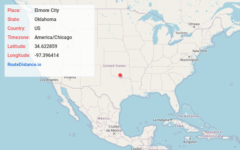
Full AddressElmore City, OK 73433
-
Coordinates34.6228594, -97.3964138
-
LocationElmore City , Oklahoma , US
-
TimezoneAmerica/Chicago
-
Current Local Time3:18:21 AM America/ChicagoSunday, June 1, 2025
-
Page Views0
About Elmore City
Elmore City is a town in Garvin County, Oklahoma, United States. This town is 58 miles south of Oklahoma City. The population was 738 at the time of the 2020 census, up from 697 at the 2010 census. It was named after J. O. Elmore.
There are two main highways running through Elmore City.


Nearby Places
Found 10 places within 50 miles

Pauls Valley
12.8 mi
20.6 km
Pauls Valley, OK
Get directions

Wynnewood
12.9 mi
20.8 km
Wynnewood, OK 73098
Get directions

Maysville
13.4 mi
21.6 km
Maysville, OK
Get directions

Davis
17.8 mi
28.6 km
Davis, OK 73030
Get directions

Lindsay
18.7 mi
30.1 km
Lindsay, OK 73052
Get directions

Wayne
20.9 mi
33.6 km
Wayne, OK 73095
Get directions

Bray
24.0 mi
38.6 km
Bray, OK 73055
Get directions

Sulphur
25.6 mi
41.2 km
Sulphur, OK 73086
Get directions

Springer
25.7 mi
41.4 km
Springer, OK
Get directions

Purcell
27.1 mi
43.6 km
Purcell, OK
Get directions
Location Links
Local Weather
Weather Information
Coming soon!
Location Map
Static map view of Elmore City, Oklahoma
Browse Places by Distance
Places within specific distances from Elmore City
Short Distances
Long Distances
Click any distance to see all places within that range from Elmore City. Distances shown in miles (1 mile ≈ 1.61 kilometers).