Distance to Elmwood, Tennessee

Calculating Your Route
Just a moment while we process your request...
Location Information
-
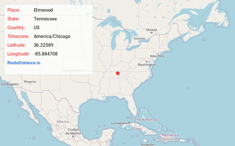
Full AddressElmwood, TN 38560
-
Coordinates36.2258899, -85.8847079
-
LocationElmwood , Tennessee , US
-
TimezoneAmerica/Chicago
-
Current Local Time10:08:30 AM America/ChicagoTuesday, July 1, 2025
-
Page Views0
About Elmwood
Elmwood is an unincorporated community in Smith County, Tennessee, United States. Its ZIP code is 38560.


Nearby Places
Found 10 places within 50 miles

Chestnut Mound
3.6 mi
5.8 km
Chestnut Mound, TN 38560
Get directions

South Carthage
3.9 mi
6.3 km
South Carthage, TN
Get directions
Bluff Creek
4.0 mi
6.4 km
Bluff Creek, TN 38547
Get directions

Carthage
4.2 mi
6.8 km
Carthage, TN 37030
Get directions

Gordonsville
4.5 mi
7.2 km
Gordonsville, TN 38563
Get directions
Donoho
6.1 mi
9.8 km
Donoho, TN 37030
Get directions
Hickman
6.5 mi
10.5 km
Hickman, TN 38567
Get directions

Lancaster
7.0 mi
11.3 km
Lancaster, TN
Get directions
Old Middleton
7.0 mi
11.3 km
Old Middleton, TN 38563
Get directions
New Middleton
7.6 mi
12.2 km
New Middleton, TN 38563
Get directions
Location Links
Local Weather
Weather Information
Coming soon!
Location Map
Static map view of Elmwood, Tennessee
Browse Places by Distance
Places within specific distances from Elmwood
Short Distances
Long Distances
Click any distance to see all places within that range from Elmwood. Distances shown in miles (1 mile ≈ 1.61 kilometers).