Distance to Elmwood, Oklahoma

Calculating Your Route
Just a moment while we process your request...
Location Information
-
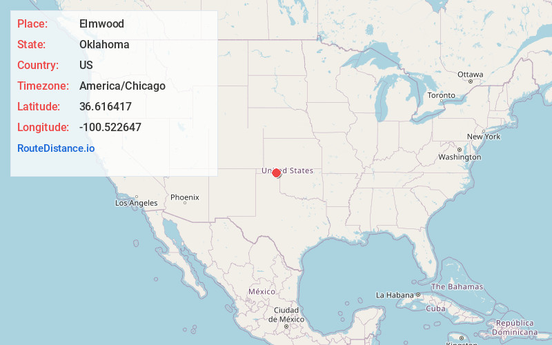
Full AddressElmwood, OK 73932
-
Coordinates36.6164172, -100.5226468
-
LocationElmwood , Oklahoma , US
-
TimezoneAmerica/Chicago
-
Current Local Time7:41:27 PM America/ChicagoWednesday, July 2, 2025
-
Page Views0
About Elmwood
Elmwood is an unincorporated community located at the junction of U.S Routes 270 and 412 in Beaver County, Oklahoma, United States.

Nearby Places
Found 10 places within 50 miles

Booker
11.3 mi
18.2 km
Booker, TX 79005
Get directions

Beaver
13.8 mi
22.2 km
Beaver, OK 73932
Get directions
Darrouzett
16.1 mi
25.9 km
Darrouzett, TX
Get directions
Twichell
16.9 mi
27.2 km
Twichell, TX 79070
Get directions
Logan
17.2 mi
27.7 km
Logan, OK 73848
Get directions
Boyd
18.0 mi
29.0 km
Boyd, OK 73931
Get directions
Forgan
20.1 mi
32.3 km
Forgan, OK 73938
Get directions
Floris
20.4 mi
32.8 km
Floris, OK 73938
Get directions

Perryton
21.6 mi
34.8 km
Perryton, TX 79070
Get directions
Follett
24.6 mi
39.6 km
Follett, TX 79034
Get directions
Location Links
Local Weather
Weather Information
Coming soon!
Location Map
Static map view of Elmwood, Oklahoma
Browse Places by Distance
Places within specific distances from Elmwood
Short Distances
Long Distances
Click any distance to see all places within that range from Elmwood. Distances shown in miles (1 mile ≈ 1.61 kilometers).