Distance to Elora, Tennessee

Calculating Your Route
Just a moment while we process your request...
Location Information
-
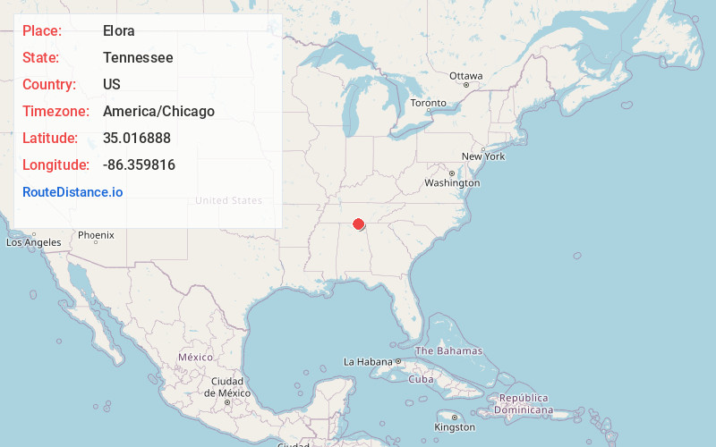
Full AddressElora, TN 37328
-
Coordinates35.0168882, -86.359816
-
LocationElora , Tennessee , US
-
TimezoneAmerica/Chicago
-
Current Local Time7:54:17 AM America/ChicagoWednesday, June 18, 2025
-
Page Views0
About Elora
Elora is an unincorporated community in Lincoln County, Tennessee, United States. It lies approximately 16 miles southeast of Fayetteville and 2 miles north of the Alabama state line.

Nearby Places
Found 10 places within 50 miles

Neil
2.8 mi
4.5 km
Neil, TN 37328
Get directions
Roseboro
3.3 mi
5.3 km
Roseboro, AL 35761
Get directions
Sycamore Swamp
4.6 mi
7.4 km
Sycamore Swamp, TN 37335
Get directions

Flintville
4.6 mi
7.4 km
Flintville, TN 37335
Get directions
Vanntown
5.5 mi
8.9 km
Vanntown, TN 37335
Get directions
Huntland
5.6 mi
9.0 km
Huntland, TN 37345
Get directions
Crystal Springs
7.0 mi
11.3 km
Crystal Springs, TN 37348
Get directions
Beans Creek
7.1 mi
11.4 km
Beans Creek, TN 37345
Get directions
Smithland
7.4 mi
11.9 km
Smithland, TN 37348
Get directions
Mint Spring
7.6 mi
12.2 km
Mint Spring, AL 35761
Get directions
Location Links
Local Weather
Weather Information
Coming soon!
Location Map
Static map view of Elora, Tennessee
Browse Places by Distance
Places within specific distances from Elora
Short Distances
Long Distances
Click any distance to see all places within that range from Elora. Distances shown in miles (1 mile ≈ 1.61 kilometers).