Distance to Elwha, Washington

Calculating Your Route
Just a moment while we process your request...
Location Information
-
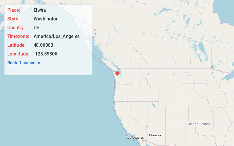
Full AddressElwha, WA 98363
-
Coordinates48.06083, -123.59306
-
LocationElwha , Washington , US
-
TimezoneAmerica/Los_Angeles
-
Current Local Time10:48:04 PM America/Los_AngelesSunday, June 1, 2025
-
Page Views0
About Elwha
Elwha is an unincorporated community in Clallam County, Washington, United States. The community is located along U.S. Route 101 about 9 miles from Port Angeles, on the northern edge of the Olympic National Park. The community is located on the Elwha River; where the Elwha Ecosystem Restoration Project took place.
Nearby Places
Found 10 places within 50 miles

Coville
4.9 mi
7.9 km
Coville, WA 98363
Get directions

Snug Harbor
5.2 mi
8.4 km
Snug Harbor, WA 98363
Get directions

Maple Grove
5.5 mi
8.9 km
Maple Grove, WA 98363
Get directions
Ramapo
5.9 mi
9.5 km
Ramapo, WA 98363
Get directions
Lower Elwha
6.1 mi
9.8 km
Lower Elwha, WA 98363
Get directions

Whiskey Bend
6.4 mi
10.3 km
Whiskey Bend, WA 98363
Get directions

Olympic Hot Springs
7.3 mi
11.7 km
Olympic Hot Springs, WA 98363
Get directions

Joyce
8.3 mi
13.4 km
Joyce, WA 98363
Get directions

Port Angeles
8.5 mi
13.7 km
Port Angeles, WA
Get directions
Disque
9.8 mi
15.8 km
Disque, WA 98363
Get directions
Location Links
Local Weather
Weather Information
Coming soon!
Location Map
Static map view of Elwha, Washington
Browse Places by Distance
Places within specific distances from Elwha
Short Distances
Long Distances
Click any distance to see all places within that range from Elwha. Distances shown in miles (1 mile ≈ 1.61 kilometers).