Distance to Emden, Missouri

Calculating Your Route
Just a moment while we process your request...
Location Information
-
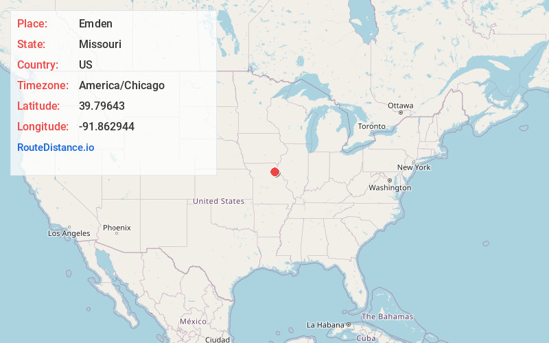
Full AddressEmden, MO 63439
-
Coordinates39.7964301, -91.8629443
-
LocationEmden , Missouri , US
-
TimezoneAmerica/Chicago
-
Current Local Time11:55:04 AM America/ChicagoSaturday, May 31, 2025
-
Page Views0
About Emden
Emden is an unincorporated village in eastern Shelby County, Missouri, United States. It is located on Route 168 approximately nine miles east of Shelbyville. There is a post office there, and two churches, plus houses and a few abandoned storefront buildings.
Nearby Places
Found 10 places within 50 miles

Kendall
6.2 mi
10.0 km
Kendall, Jackson Township, MO 63468
Get directions
Philadelphia
7.2 mi
11.6 km
Philadelphia, MO 63463
Get directions

Hunnewell
8.9 mi
14.3 km
Hunnewell, MO 63443
Get directions
Shelbyville
9.5 mi
15.3 km
Shelbyville, MO 63469
Get directions
Nelsonville
9.6 mi
15.4 km
Nelsonville, MO 63440
Get directions

Bethel
10.2 mi
16.4 km
Bethel, MO
Get directions
Emerson
10.9 mi
17.5 km
Emerson, Round Grove Township, MO 63454
Get directions
Walkersville
11.6 mi
18.7 km
Walkersville, Salt River Township, MO 63468
Get directions

Shelbina
11.9 mi
19.2 km
Shelbina, MO 63468
Get directions

Monroe City
12.0 mi
19.3 km
Monroe City, MO 63456
Get directions
Location Links
Local Weather
Weather Information
Coming soon!
Location Map
Static map view of Emden, Missouri
Browse Places by Distance
Places within specific distances from Emden
Short Distances
Long Distances
Click any distance to see all places within that range from Emden. Distances shown in miles (1 mile ≈ 1.61 kilometers).