Distance to Emerald, Pennsylvania

Calculating Your Route
Just a moment while we process your request...
Location Information
-
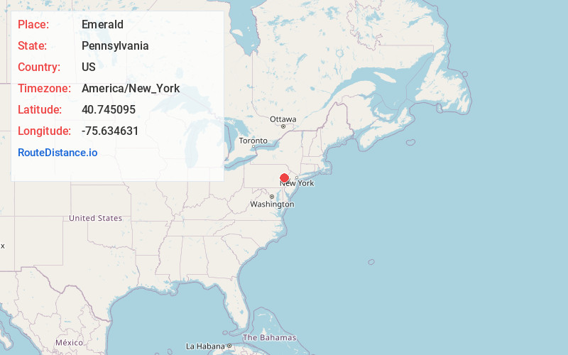
Full AddressEmerald, PA 18080
-
Coordinates40.7450951, -75.6346313
-
LocationEmerald , Pennsylvania , US
-
TimezoneAmerica/New_York
-
Current Local Time11:53:18 PM America/New_YorkThursday, June 19, 2025
-
Page Views0
About Emerald
Emerald is an unincorporated exurban community in Washington Township in Lehigh County, Pennsylvania. It is located two miles west of Slatington.
Emerald is part of the Lehigh Valley, which has a population of 861,899 and was the 68th-most populous metropolitan area in the U.S. as of the 2020 census.

Nearby Places
Found 10 places within 50 miles

Rextown
0.4 mi
0.6 km
Rextown, Washington Township, PA 18080
Get directions
Slatedale
1.1 mi
1.8 km
Slatedale, PA
Get directions

Slatington
1.6 mi
2.6 km
Slatington, PA
Get directions
Peters Store
1.7 mi
2.7 km
Peters Store, Washington Township, PA 18080
Get directions

Walnutport
2.0 mi
3.2 km
Walnutport, PA 18088
Get directions

Bowmanstown
4.0 mi
6.4 km
Bowmanstown, PA
Get directions

Palmerton
4.1 mi
6.6 km
Palmerton, PA 18071
Get directions
Balliet
4.6 mi
7.4 km
Balliet, PA 18212
Get directions

Schnecksville
4.9 mi
7.9 km
Schnecksville, PA 18078
Get directions

North Whitehall Township
5.0 mi
8.0 km
North Whitehall Township, PA
Get directions
Location Links
Local Weather
Weather Information
Coming soon!
Location Map
Static map view of Emerald, Pennsylvania
Browse Places by Distance
Places within specific distances from Emerald
Short Distances
Long Distances
Click any distance to see all places within that range from Emerald. Distances shown in miles (1 mile ≈ 1.61 kilometers).