Distance to Emerald Mountain, Alabama

Calculating Your Route
Just a moment while we process your request...
Location Information
-
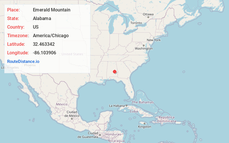
Full AddressEmerald Mountain, AL
-
Coordinates32.4633422, -86.1039058
-
LocationEmerald Mountain , Alabama , US
-
TimezoneAmerica/Chicago
-
Current Local Time4:27:57 AM America/ChicagoMonday, June 2, 2025
-
Page Views0
About Emerald Mountain
Emerald Mountain is a census-designated place in Elmore County, Alabama, United States. Its population was 2,561 as of the 2010 census.
It is a planned community with an Architectural Review Board and a Homeowners Association of which membership is mandatory.
Nearby Places
Found 10 places within 50 miles

Redland
3.3 mi
5.3 km
Redland, AL 36093
Get directions

Wetumpka
8.4 mi
13.5 km
Wetumpka, AL
Get directions

Pike Rd
13.2 mi
21.2 km
Pike Rd, AL
Get directions

Montgomery
13.2 mi
21.2 km
Montgomery, AL
Get directions

Tallassee
13.3 mi
21.4 km
Tallassee, AL 36078
Get directions

Millbrook
15.1 mi
24.3 km
Millbrook, AL
Get directions

Holtville
17.4 mi
28.0 km
Holtville, AL
Get directions

Prattville
20.7 mi
33.3 km
Prattville, AL
Get directions

Pine Level
22.7 mi
36.5 km
Pine Level, AL
Get directions

Tuskegee
23.2 mi
37.3 km
Tuskegee, AL
Get directions
Location Links
Local Weather
Weather Information
Coming soon!
Location Map
Static map view of Emerald Mountain, Alabama
Browse Places by Distance
Places within specific distances from Emerald Mountain
Short Distances
Long Distances
Click any distance to see all places within that range from Emerald Mountain. Distances shown in miles (1 mile ≈ 1.61 kilometers).