Distance to Emerald Park, Illinois

Calculating Your Route
Just a moment while we process your request...
Location Information
-
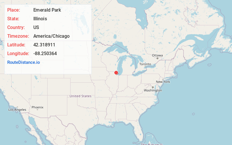
Full AddressEmerald Park, Nunda Township, IL 60051
-
Coordinates42.318911, -88.2503636
-
LocationNunda Township , Illinois , US
-
TimezoneAmerica/Chicago
-
Current Local Time10:25:47 PM America/ChicagoSaturday, June 21, 2025
-
Page Views0
Nearby Places
Found 10 places within 50 miles

Ferndale
1.3 mi
2.1 km
Ferndale, IL 60051
Get directions

McHenry
1.3 mi
2.1 km
McHenry, IL
Get directions
Colby Point
1.6 mi
2.6 km
Colby Point, Nunda Township, IL 60050
Get directions
Eastwood Manor
1.9 mi
3.1 km
Eastwood Manor, McHenry Township, IL 60051
Get directions
Lilymoor
2.1 mi
3.4 km
Lilymoor, McHenry Township, IL 60051
Get directions
Holiday Hills
2.4 mi
3.9 km
Holiday Hills, IL 60051
Get directions

Lakemoor
2.7 mi
4.3 km
Lakemoor, IL
Get directions
Prairie Grove
2.8 mi
4.5 km
Prairie Grove, IL
Get directions
Barreville
3.1 mi
5.0 km
Barreville, Prairie Grove, IL 60012
Get directions
Terra Cotta
3.6 mi
5.8 km
Terra Cotta, Nunda Township, IL 60012
Get directions
Location Links
Local Weather
Weather Information
Coming soon!
Location Map
Static map view of Emerald Park, Illinois
Browse Places by Distance
Places within specific distances from Emerald Park
Short Distances
Long Distances
Click any distance to see all places within that range from Emerald Park. Distances shown in miles (1 mile ≈ 1.61 kilometers).