Distance to Emily, Minnesota

Calculating Your Route
Just a moment while we process your request...
Location Information
-
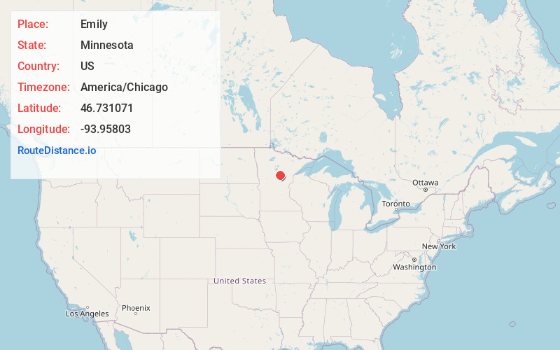
Full AddressEmily, MN 56447
-
Coordinates46.7310714, -93.9580296
-
LocationEmily , Minnesota , US
-
TimezoneAmerica/Chicago
-
Current Local Time3:37:19 PM America/ChicagoTuesday, May 20, 2025
-
Page Views0
About Emily
Emily is a city in Crow Wing County, Minnesota, United States. The population was 843 at the 2020 census. It is part of the Brainerd Micropolitan Statistical Area.
Minnesota State Highway 6 and Crow Wing County Road 1 are the main routes in the community.


Nearby Places
Found 10 places within 50 miles

Crosslake
8.9 mi
14.3 km
Crosslake, MN
Get directions

Breezy Point
15.7 mi
25.3 km
Breezy Point, MN
Get directions

Crosby
17.2 mi
27.7 km
Crosby, MN 56441
Get directions

Aitkin
18.0 mi
29.0 km
Aitkin, MN 56431
Get directions

Pequot Lakes
18.9 mi
30.4 km
Pequot Lakes, MN 56472
Get directions

Pine River
21.2 mi
34.1 km
Pine River, MN
Get directions

Nisswa
21.4 mi
34.4 km
Nisswa, MN 56468
Get directions

Lake Shore
24.2 mi
38.9 km
Lake Shore, MN 56468
Get directions

Brainerd
28.6 mi
46.0 km
Brainerd, MN 56401
Get directions
East Gull Lake
29.2 mi
47.0 km
East Gull Lake, MN 56401
Get directions
Location Links
Local Weather
Weather Information
Coming soon!
Location Map
Static map view of Emily, Minnesota
Browse Places by Distance
Places within specific distances from Emily
Short Distances
Long Distances
Click any distance to see all places within that range from Emily. Distances shown in miles (1 mile ≈ 1.61 kilometers).